Roughting Linn

 Enjoy a walk from the village of Ford to this beautiful hidden gem in Northumberland.
The walk starts at the remains of Ford castle and heads east into some beautiful countryside. You pass the Ford Moss Nature Reserve where you can see birds such as red grouse, meadow pipit and woodcock. You can also see reptiles such as common lizards and adders.
You continue from the reserve towards Goatscrag Hill before coming to the beautiful waterfall on the Broomridgedean Burn. Return to Ford on the same path.
Ford is located just a few miles north of the popular walking town of Wooler. Here you can extend your walking in the area by visting Wooler Common or climbing Humbleton Hill.
Postcode
TD15 2QF - Please note: Postcode may be approximate for some rural locationsRoughting Linn Ordnance Survey Map  - view and print off detailed OS map
Roughting Linn Open Street Map  - view and print off detailed map
Roughting Linn OS Map  - Mobile GPS OS Map with Location tracking
Roughting Linn Open Street Map  - Mobile GPS Map with Location tracking
Further Information and Other Local Ideas
Not far to the south there's a popular climb to Yeavering Bell. There's a particularly large Iron Age Hillfort and more fine views from the summit of this noteworthy hill. Near the fort there's the beautiful College Valley where you can enjoy waterside trails along the College Burn to the pretty Hethpool Linn waterfall.
Just a few miles to the east there's the historically fascinating St Cuthberts Cave. The monks of Lindisfarne reputedly brought St. Cuthbert's body to the site in AD875 following Viking raids on the Island. Near the cave there's also the peaceful woodland trails and steep rock climbing cliffs in the adjacent Kyloe Woods.
Head north and you could visit the interesting village of Norham. The historic village is located on the River Tweed next to the Scottish border. There's nice riverside walks and a noteworthy 12th century castle ruin to explore here.
For more walking ideas in the area see the Northumberland Walks page.
Cycle Routes and Walking Routes Nearby
Photos

Roughting Linn Waterfall

This large dome of rock is carved with a large number of motifs of the cup and ring type - a prehistoric 'art-form' that reaches a zenith in Northumberland. The photo was taken shortly after trees had been cleared from around the site by English Heritage to aid in its preservation. This is one of the more easily accessible of the rock art sites in the county, being just a short walk from the road.

Routin Lynn Farm. Viewed from a minor road with Goatscrag Hill behind.

Goats Crag. On the south side of Goatscrag Hill, above Routin Lynn Farm.

Footpath east of Ford. A well used path connecting Ford with Ford Moss.

Riders on bridleway, south of Ford Moss
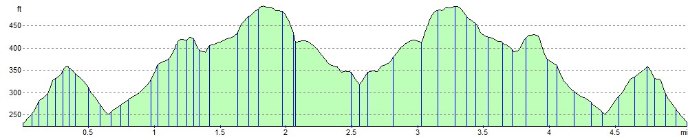
Elevation Profile