Rydal Cave walk from Ambleside
4 miles (6.5 km)

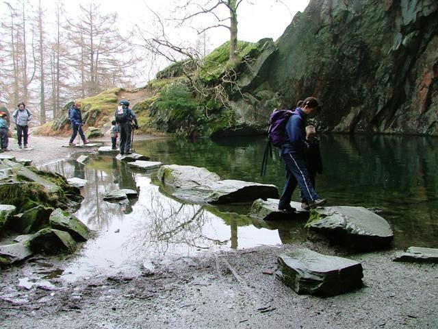
 This walk climbs to the former quarry at Rydal Cave from Ambleside. It's a short, fairly easy walk from the town following a country lane along the River Rothay to Rydal Water. You then climb through woodland towards the caves which are a popular spot with walkers. You can enter the caves on a series of stepping stones to have a look around inside.
There's nice views down to the lake and the option of extending your walking by continuing along our Rydal Water Walk or climbing to the nearby Loughrigg Fell.


