Seaton Sluice Walks

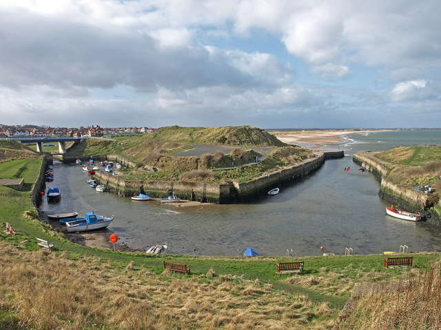
 This pretty village sits in a lovely spot on the Northumberland coast near Whitley Bay and Blyth.
This walk takes you along the sea front to the wildlife rich St Mary's Nature Reserve.
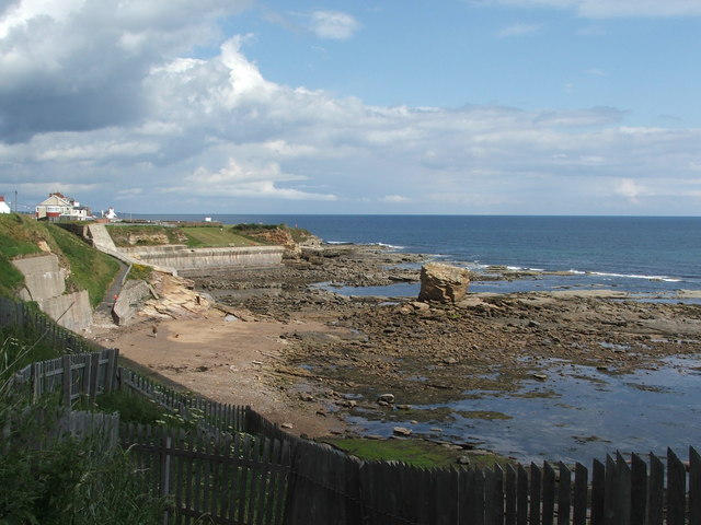
You can start the walk at the Seaton Sluice Car Park next to the beach at the northern end of the village. From here you can head south past Rocky Island, Colywell Bay and Crag Point before coming to St Mary's Nature Reserve next to St Mary's Island. The area is a popular bird watching site with the island itself also accessible at low tide by crossing the causeway. Here you can visit the photogenic lighthouse and enjoy fine views towards Whitley Bay.
The route runs for about 2 miles with the option of extending it by continuing on to Whitley Bay where you could pick up the Whitley Bay to Tynemouth Walk.
Postcode
NE26 4RD - Please note: Postcode may be approximate for some rural locationsSeaton Sluice Ordnance Survey Map  - view and print off detailed OS map
Seaton Sluice Open Street Map  - view and print off detailed map
Seaton Sluice OS Map  - Mobile GPS OS Map with Location tracking
Seaton Sluice Open Street Map  - Mobile GPS Map with Location tracking
Pubs/Cafes
The Kings Arms is in a good location next to the harbour at postcode NE26 4RD. The friendly cliff top pub serves good quality food and has a fine selection of drinks.
Further Information and Other Local Ideas
One of the highlights of the area is the National Trust's Seaton Delaval Hall. The early 18th century Georgian mansion has an interesting history and is surrounded by some lovely gardens. You can find the property at The Avenue with postcode NE26 4QR.
To the north is the town of Blyth where there are some nice trails along the beach and River Blyth Estuary.


