Shotesham Walks

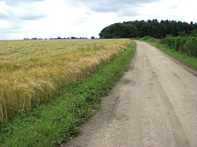
 This south Norfolk village is located just a few miles to the south of the city of Norwich in the River Tas Valley.
This walk from the village follows a section of the Boudicca Way north to visit the Venta Icenorum Roman town at Caistor St Edmund.
The walk starts in the village wher you can pick up the waymarked trail and follow it north to Upper Stoke before coming to the roman town. You can explore the earthworks, ruined walls and ditches of the ancient site before a walk along the River Tas which runs through the area.
To extend the walk head south west along the trail to visit the neighbouring village Saxlingham Nethergate.
Shotesham Ordnance Survey Map  - view and print off detailed OS map
Shotesham Open Street Map  - view and print off detailed map
Shotesham OS Map  - Mobile GPS OS Map with Location tracking
Shotesham Open Street Map  - Mobile GPS Map with Location tracking
Walks near Shotesham
- Boudicca Way - Follow the Boudicca Way from Norwich to Diss on this walk through the beautiful, unspoilt South Norfolk landscape
- Caistor St Edmund - This historical circular walk explores the Roman town of Caistor St Edmund in Norfolk
- Hethersett and Swardeston Country Walk - This village near Norwich has some nice surrounding countryside to explore on a number of footpaths
- Tas Valley Way - This 25 mile river walk runs from Cringleford, near Norwich, to Attleborough, visiting a series of pretty villages with historic churches along the way.
- Loddon - This attractive market town in Norfolk has some delightful riverside trails to try
- Brundall - This riverside village is located just east of Norwich in the Norfolk Broads
- Reedham - This Broads village is a lovely place to start a walk with miles of riverside trails and some pleasant footpaths to follow through the surrounding countryside.
- Norwich Riverside Walk - This circular walk around the city centre of Norwich follows the lovely riverside path along the River Wensum
- Diss - The attractive market town of Diss has some nice options for walkers with the pretty mere and the River Waveney in the vicinity
- Surlingham - This Norfolk Broads village is a super place for a walk with river trails, broads and a fine local nature reserve to explore.
- Strumpshaw Fen - This walk visits the RSPB'S Strumpshaw Fen Nature Reserve in the Norfolk Broads, west of Strumpshaw village.
- Burlingham Woods - These pretty woods are located just east of Norwich near the villages of Acle and Brundall.
- Bramerton Riverside Walk - This walk takes you along a pleasant section of the River Yare near the village of Bramerton in Norfolk.
- Mulbarton - This Norfolk based village is located just south of Norwich
- Ketteringham Hall - Ketteringham Hall is located in the Norfolk village of Ketteringham, a few miles south west of Norwich.
Pubs/Cafes
The Globe is a nice place for some refreshment after your exercise. They have a good selection of drinks and a pleasant outdoor seating area. You can find them at postcode NR15 1YG for your sat navs.


