Silsden to Skipton Canal Walk
6 miles (10 km)

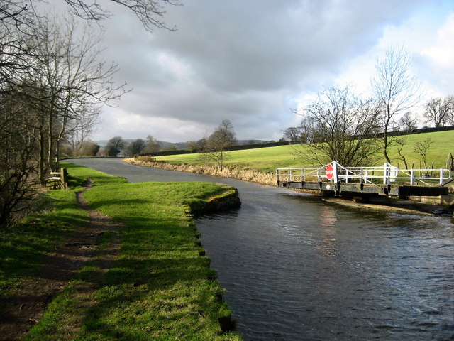
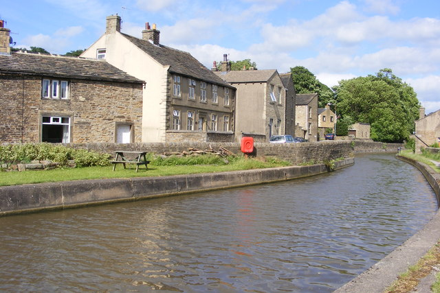
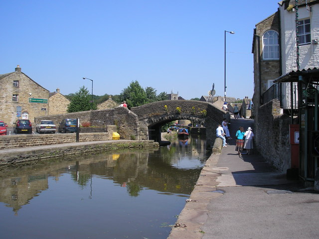
 Enjoy and easy waterside stroll along the Leeds and Liverpool Canal on this walk from Silsden to Skipton. It's a lovely stretch of the canal, running for about 6 miles along the flat towpath. On the way you'll pass Kidlwick, Farnhill, Low Bradley and Low Snaygill before coming into Skipton. There's also swing bridges, pretty locks and lovely views of the surrounding Airedale countryside.
To extend the walk, try the Skipton Canal Walk which continues along the canal to nearby Gargrave.
Silsden to Skipton Canal Walk Ordnance Survey Map  - view and print off detailed OS map
Silsden to Skipton Canal Walk Open Street Map  - view and print off detailed map
Silsden to Skipton Canal Walk OS Map  - Mobile GPS OS Map with Location tracking
Silsden to Skipton Canal Walk Open Street Map  - Mobile GPS Map with Location tracking
Further Information and Other Local Ideas
To the west of Silsden there's Sutton in Craven where you can enjoy a climb to Lund's Tower and Wainman's Pinnacle. Known locally as the Salt and Pepper Pots there's fine views over the area from the elevated position of the monuments.


