Southwold to Walberswick Walk

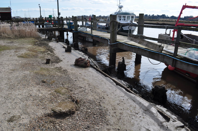
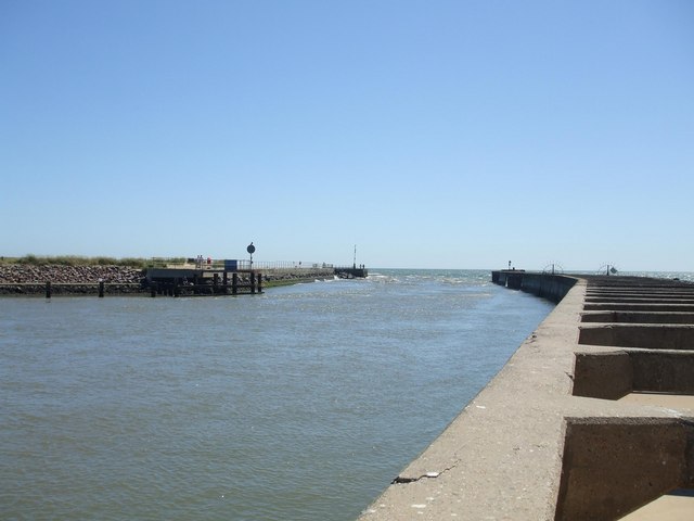
 This is a popular walk from Southwold to Walberswick, passing along the coast and the River Blyth. It's an easy stroll, running for about 3 miles on a flat section of the Suffolk Coast Path, passing some of the marshland surrounding the two settlements.
Start the walk on the sea front in Southwold and then head south along Havenbeach Marshes to the river. Here you turn right to follow a path along Southwold Harbour to Woodsend Marshes. A footbridge then takes you to the other side of the river where you turn south to follow the path to the coast at Walberswick. The route passes along the beach before turning into the village centre where you can enjoy refreshments at one of the cafes.
As an alternative route you could continue along the Blyth to Reydon Marshes and Tinker's Marshes before crossing Walberswick Common to reach the village. You can extend your walking by heading to the Suffolk Coast National Nature Reserve which is located just to the west of the village. It's a great place for walks and wildlife watching with a wide variety of habitats including heathland, reed beds, grassland, woodlands, shingle, lagoons, mudflats and the salt marshes of the Blyth estuary.
Southwold to Walberswick Ordnance Survey Map  - view and print off detailed OS map
Southwold to Walberswick Open Street Map  - view and print off detailed map
Southwold to Walberswick OS Map  - Mobile GPS OS Map with Location tracking
Southwold to Walberswick Open Street Map  - Mobile GPS Map with Location tracking
Pubs/Cafes
The Anchor in Walberswick is a nice place to stop for refreshments on the walk. Located close to the beach it has a good sized garden area where you can relax on warmer days. You can find the pub at a postcode of IP18 6UA for your sat navs. It's also dog friendly if you have your canine friend with you.
Further Information and Other Local Ideas
The Dunwich to Walberswick Walk is a good option for continuing your exercise around the town. The 7 mile circular walk visits Walberswick before returning to Dunwich along the beach.
The circular Blythburgh Walk starts at the nearby village and visits the Westwood Marshes, Walberswick and Dunwich Forest. The village is located just to the north west of Walberswick and includes trails along the River Blyth and a noteworthy 14th century church which is lit at night. There's also a notable 16th century pub with an excellent garden area overlooking the estuary. If you followed the Blyth river west from the settlement you will soon come to the neighbouring town of Halesworth. This town has some interesting history with a walk down the central Thoroughfare highly recommended. The pedestrianised area includes many buildings dating back to the sixteenth century.
For more walking ideas in the area see the Suffolk Coast and Heaths Walks and the Suffolk Walks pages.


