Stocksbridge Walks

 This South Yorshire town on the edge of the Peak District has several nice reservoirs and a popular local wood to visit.
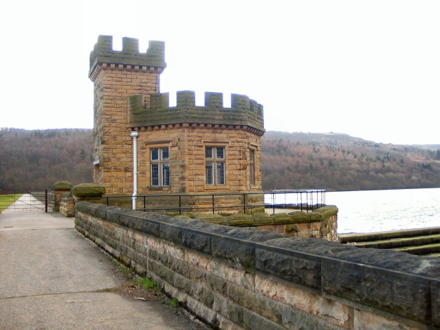
This circular walk from the town visits the nearby Broomhead Reservoir and More Hall Reservoir just to the south of Stocksbridge.
The walk starts in Royd on the south eastern edge of the town. From here you can pick up footpaths heading south to Round Hill and then west to Bolsterstone. You continue south to Ewden village where you can pick up the footpaths heading around the two reservoirs. There's nice trails alongside both bodies of water which are surrounded by attractive woodland and countryside. After rounding the reservoirs you can follow the same paths back into Stocksbridge.
Stocksbridge Ordnance Survey Map  - view and print off detailed OS map
Stocksbridge Open Street Map  - view and print off detailed map
Stocksbridge OS Map  - Mobile GPS OS Map with Location tracking
Stocksbridge Open Street Map  - Mobile GPS Map with Location tracking
Pubs/Cafes
The Royal Oak is a good choice for some refreshments after your walk. They do good food and also have an outdoor area if the weather is good. You can find the pub at 31 Manchester Road, Deepcar with a postcode of S36 2QX for your sat navs.
Dog Walking
The country and waterside trails make for a pleasant dog walk. Wharncliffe Wood to the south east is also a popular place for dog walking in the area. The Royal Oak mentioned above is also dog friendly.
Further Information and Other Local Ideas
To the east of the town you can pick up the long distance Trans Pennine Trail and follow it south into Wharncliffe Woods and Grenoside Woods. There's miles of good walking paths, mountain bike trails and a nature reserve to enjoy here.
To the west of the town there's more nice waterside trails around Underbank Reservoir. You could pick up the waymarked Barnsley Boundary Walk to the north and follow it to the reservoir.
Wentworth Woodhouse and Westwood Country Park are also nearby and have some fine trails to try.
The circular Bradfield Walk starts from nearby High Bradfield and visits several of the reservoirs in the area. You can pick up just south of Stocksbridge.
For more walking ideas in the area see the Peak District Walks page.


