Stoke By Nayland Circular Walk

 This route uses sections of the St Edmund Way, the Essex Way and the Stour Valley Path to create a circular walk around this Suffolk based village. It's a very pretty settlement with many cottages and old timber-framed houses. There's also a noteworthy village church which dates from the 15th century and features several times in John Constable's paintings.
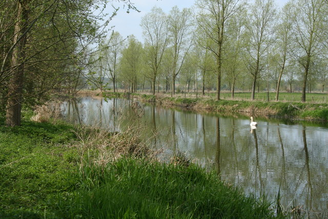
The route runs for about 14 miles, visiting the neighbouring settlements of Nayland, Langham and Stratford St Mary. On the way there's lovely Constable country scenery and views of the River Stour to enjoy.
The walk starts in Stoke By Nayland where you can pick up the St Edmund Way and follow it west and then south to Nayland. Here you cross the River Stour on Nayland Bridge before continuing south east to Boxted where you pick up the Essex Way. Follow it east and it will take you to Langham where you turn north towards Stratford St Mary. Here you pick up the Stour Valley Path and follow the waymarked trail along the river for a while before passing Thornington Hall. This old hall dates from 1600 and is owned by the National Trust. It is a picturesque place and one of the best timber-framed houses in Suffolk.
After passing the old hall you continue north towards Gifford's Hall and Withermarsh Green before turning west to return to Stoke By Nayland.
Postcode
CO6 4SA - Please note: Postcode may be approximate for some rural locationsStoke By Nayland Ordnance Survey Map  - view and print off detailed OS map
Stoke By Nayland Open Street Map  - view and print off detailed map
Stoke By Nayland OS Map  - Mobile GPS OS Map with Location tracking
Stoke By Nayland Open Street Map  - Mobile GPS Map with Location tracking
Walks near Stoke By Nayland
- Dedham to Flatford Walk - This circular walk takes you from the village of Dedham to the site of Constable's most famous painting at Flatford Mill
- Dedham Vale - Explore John Constable country and visit the site of his famous Hay Wain painting on this circular walk in the Dedham Vale AONB
- Flatford Mill - Visit the site of Constable's most famous painting and enjoy a short stroll along the River Stour on this easy walk in the Dedham Vale AONB
- Polstead - This pretty Suffolk based village has a picturesque green, a nice village pond and a fine 17th century pub for post walk refreshment
- Stour Valley Path - Follow the River Stour from Newmarket to Cattawade on this delightful walk through East Anglia
- Hadleigh Railway Walk - This walk takes you along the trackbed of the old Hadleigh Railway line from Hadleigh to Raydon Wood railway station in Suffolk
- Colchester - A circular riverside walk around the centre of Colchester, visiting Colchester Castle and the River Colne
- East Bergholt - This attractive Suffolk village is in a fine location for exploring the wonderful Dedham Vale AONB in Constable Country
- Bures - This pretty village is located in a lovely spot on the River Stour on the Suffolk/Essex county border
- Wolves Wood - This short walk takes you around the RSPB's Wolves Wood near Hadleigh and Ipswich in Suffolk.
Pubs/Cafes
The Crown is a fine place for refreshments after your walk. The main draw here is a beautiful large garden area where you can relax on warmer days. They do great food and can be found on Park Street, Stoke-by-Nayland at postcode CO6 4SE for your sat navs.
The Angel Inn is also in the village and well worth consideration. It dates all the way back to the 16th century and includes open fires, original brickwork and oak beams. You can find it on Polstead Street at postcode CO6 4SA.
Dog Walking
The country and woodland trails on the route make for a fine walk with your dog. The Crown and the Angel Inn mentioned above are also dog friendly.
Further Information and Other Local Ideas
You can further explore the area on the Dedham Vale Walk and head south east to Dedham. Here you can try the Dedham to Flatford Walk and visit the splendid Flatford Mill. It's an idyllic place and the scene of Constable's most famous painting 'The Hay Wain'. His birthplace at East Bergholt is also nearby and well worth visiting.
Just to the north is neighbouring Polstead where there's a village green, pond a fine 17th century inn worthy of investigation.
You could also pay a visit to the nearby Alton Water where there are some lovely waterside trails.
To the west you can visit the worthy village of Bures. The village occupies an interesting spot, straddling the border between Suffolk and Essex. There's also a historic medieval church and a 12th century Motte and Bailey Castle which are well worth a visit.
For more walking ideas in the area see the Suffolk Walks page.


