Tamar Estuary - Saltash Walk

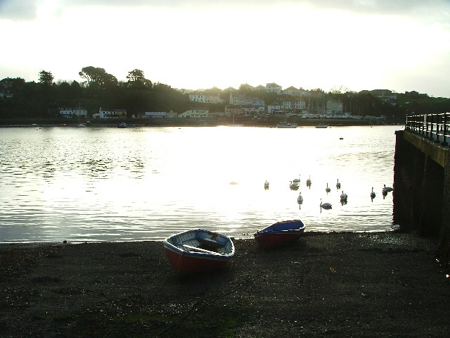
 Explore the Tamar Estuary Nature Reserve on this short walk near Saltash. The reserve is located a couple of miles north of Saltash. You can follow a footpath along the estuary from Cargreen to Landulph. Look out for wildlife including avocet, shelduck and large numbers of waders. You can see a great view of the estuary at Cargreen using the google street view link below. It's a lovely spot with lots of sailboats and the Cornish countryside in the background.
To explore the beautiful Tamar Valley further you can pick up the Tamar Valley Discovery Trail and visit the lovely Lopwell Dam Nature Reserve.
Postcode
PL12 6PA - Please note: Postcode may be approximate for some rural locationsTamar Estuary Ordnance Survey Map  - view and print off detailed OS map
Tamar Estuary Open Street Map  - view and print off detailed map
Tamar Estuary OS Map  - Mobile GPS OS Map with Location tracking
Tamar Estuary Open Street Map  - Mobile GPS Map with Location tracking
Explore the Area with Google Street View 
Walks near Saltash
- Tamar Valley Discovery Trail - This beautiful trail takes you through the Tamar Valley AONB from Tamerton Foliot in Devon to Launceston in Cornwall
- Lopwell Dam - Lopwell Dam Local Nature Reserve covers an area of 5 hectares on the River Tavy near Plymouth and Tavistock
- Kit Hill - This country park in Cornwall covers 400 acres with miles of good footpaths to try
- Plymouth's Waterfront Walkway - A nice easy walk along a section of the south west coast path which highlights the city's history and heritage
- Mount Edgcumbe Country Park - With 865 acres of parkland, beautiful landscaped Cornish gardens and stunning coastline, Mount Edgcumbe Country Park is a fantastic place to visit
- South West Coast Path - This incredible 600 mile walk follows the coast from Minehead in Somerset, through Devon and Cornwall and onto the finish point at Poole in Dorset
- West Devon Way - Explore the western edge of the Dartmoor National Park on this walk through beautiful Devon.
The route begins in Okehampton and passes through Sourton, Lydford, Mary Tavy, Tavistock and Bickleigh before finishing in the maritime city of Plymouth.
Trail highlights include the picturesque Meldon Reservoir and the town of Lydford with its noteworthy castle and nearby Lydford Gorge - Callington - This Cornish town has some fine local hill climbs and riverside walks to try
Pubs/Cafes
Head into Saltash and there's The Ferry House Inn to visit. There's a nice garden area where you can sit outside and enjoy views across the river. You can find them at 888 Wolseley Road with postcode PL5 1LA for your sat navs.
Dog Walking
The area makes for a pleasant dog walk and the Ferry House Inn mentioned above is also dog friendly.
Further Information and Other Local Ideas
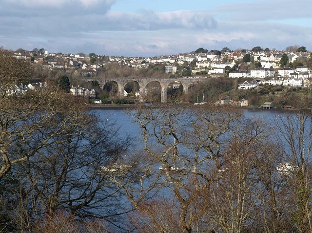
The Tamar Valley Line is a great way of seeing the area from a different perspective. The scenic railway takes you through rolling green, sleepy villages and beautiful river crossings. The highlight of the journey is when the train slowly creeps down over the impressive Calstock viaduct and you are 120 feet high looking down on the river below.
Saltash is located near to Plymouth where you can visit Plymouth's Waterfront Walkway and Mount Edgcumbe Country Park. You can also pick up the long distance South West Coast Path and West Devon Way here.
For more walking ideas in the area see the Cornwall Walks page.


