Thorner Walks

 This picturesque Yorkshire village sits in a rural location to the east of the city of Leeds near Wetherby and Seacroft.
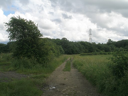
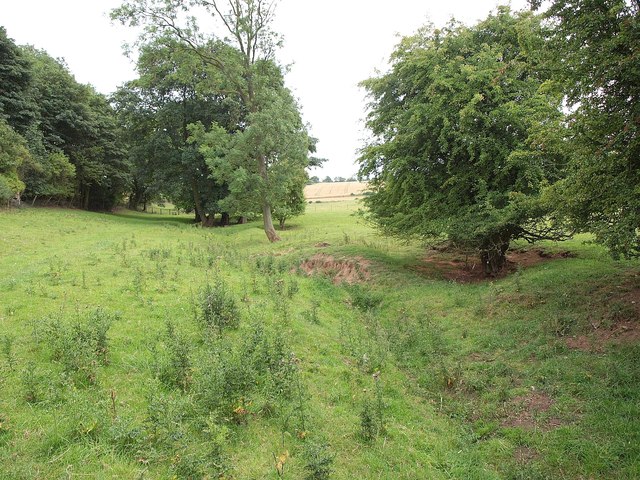
This circular walk from the village uses a section of the Leeds Country Way to visit Saw Wood and the neighbouring villages of Barwick-in-Elmet and Scholes.
The walk starts in the village where you can pick up the Leeds Country Way and follow the waymarked footpath east to Ellerker Lane. You then head south through Saw Wood to Kiddal Bridge and then on to Barwick-in-Elmet.
You then head west to Limekiln Hill and Scholes where you turn north to Arthursdale. The walk then follows public footpaths along the old railway line to return to the village.
To continue your walking in the area head east across Thorner Moor to visit Bramham Park. The expansive park is one of the local area highlights with its parkland, woodland, ponds and beautiful gardens to explore.
Thorner Ordnance Survey Map  - view and print off detailed OS map
Thorner Open Street Map  - view and print off detailed map
Thorner OS Map  - Mobile GPS OS Map with Location tracking
Thorner Open Street Map  - Mobile GPS Map with Location tracking
Walks near Thorner
- Bramham Park - The attractive West Yorkshire village of Bramham is a fine place to start a walk with a splendid old park estate, pockets of woodland and country trails to explore.
- Leeds Country Way - A super circular walk through the countryside surrounding this major Yorkshire city
- Roundhay Park - Explore 700 acres of parkland, lakes, woodland and gardens in one of the largest parks Britain
- Ebor Way - Follow the Ebor Way from Helmsley to Ilkley on this walk through Yorkshire
- Wetherby - This lovely market town near Leeds is well worth a visit for its architecture and fascinating history
- Harewood House - Explore the 100 acres of beautiful landscaped gardens surrounding this 18th century country house in Leeds
- East Keswick - This worthy village is located in West Yorkshire near the city of Leeds
- Garforth - This Leeds based town is located to the east of the city
- Temple Newsam - This walk visits the splendid Temple Newsam, a Tudor-Jacobean house to the east of Leeds
- Aberford - This circular walk from Aberford explores the countryside to the east of the village, visiting the Lotherton Hall Estate on the way.
- Lotherton Hall Estate - Explore the beautiful grounds of this Edwardian house once home to the Gascoigne family. The estate includes a deer park and a bird garden with 200 magnificent species including flamingos and snowy owls
- Hazlewood Castle - This circular walk explores the area around the attractive Hazlewood Castle estate near Leeds
- Parlington Woods - This walk takes you through Parlington Woods near Aberford and Garforth in Yorkshire.
Pubs/Cafes
The Fox Inn is in a nice place to enjoy some post exercise rest and refreshment. The friendly village pub has a charming interior with lots of interesting local pictures and memorabilia. They serve good food and also have a nice garden area for warmer days. You can find them on the Main Street at postcode LS14 3DX for your sat navs.
Dog Walking
The country and woodland trails make for a fine dog walk. The Fox Inn mentioned above is also dog friendly.
Further Information and Other Local Ideas
Follow the Leeds Country Way south and it will take you to neighbouring Garforth. Here you can enjoy walks along the Aire and Calder Navigation Canal and enjoy the wildlife at RSPB St Aidan's.


