Lynmouth to Watersmeet Walk

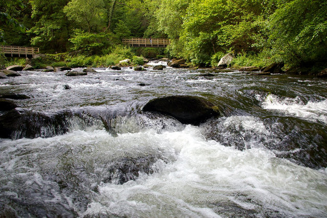
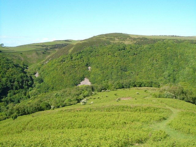
 Follow a series of super trails through 2000 acres of river gorge and woodland on this lovely circular walk from Lynmouth to Watersmeet in Exmoor.
The route starts in Lynmouth and takes you along the East Lyn River, passing waterfalls and Horner's Neck Wood before visiting the pretty coastal village of Lynmouth. You can also visit Foreland Point and Countisbury where you will find some of the highest sea cliffs in England with stunning coastal views. There is an abundance of wildlife to look out for including otters, red deer and buzzards.
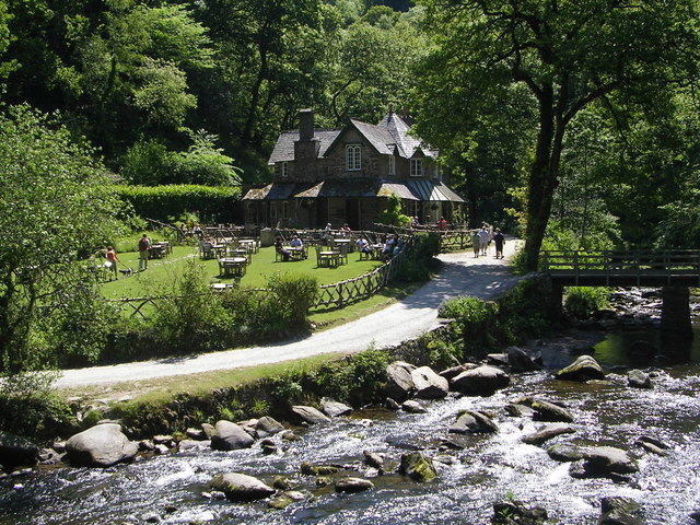
At the end of your walk you could treat yourself to a cream tea in the delightful riverside tea garden at Watersmeet House which dates back to 1832. The house sits in a wonderful spot at the confluence of the East Lyn River and Hoar Oak Water.
To extend your walk head north and visit Foreland Point. Here you will find the Foreland Lighthouse and wonderful views across the Bristol Channel to the Welsh coast.
The Samaritans Way South West passes right through the area. You could pick up the long distance trail and head east, along the East Lynn River to the Doone Valley. Here you can try our lovely Lorna Doone Walk which visits some of the sites connected to Richard Dodderidge Blackmore's 1869 novel 'Lorna Doone: A Romance of Exmoor'.
Watersmeet Ordnance Survey Map  - view and print off detailed OS map
Watersmeet Open Street Map  - view and print off detailed map
Watersmeet OS Map  - Mobile GPS OS Map with Location tracking
Watersmeet Open Street Map  - Mobile GPS Map with Location tracking
Pubs/Cafes
There's a lovely National Trust tea room at Watersmeet where you can enjoy some refreshments after your walk. They include a large garden area where you can enjoy views of the water on a fine day.
Dog Walking
The riverside footpaths and woodland trails in the area are ideal for dog walking. It's best to keep them on leads around Watersmeet if you are near livestock.
Further Information and Other Local Ideas
The Coleridge Way passes the site. The literary walk follows in the footsteps of the famous 18th century poet, visiting several of the sites which inspired his work.
For more walking ideas in the area see the Exmoor Walks page.


