Westleton Walks

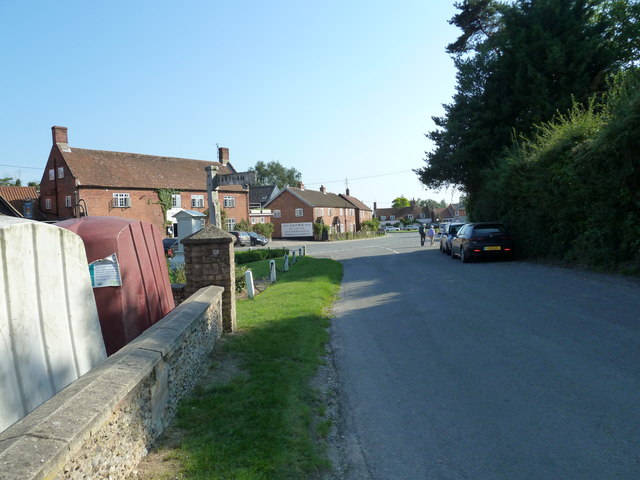
 This Suffolk village is a fine place to start a walk. There's miles of trails heading into the surrounding heathland and woodland with the coast not too far away. There's also a pretty village green, a notable 14th century church and a couple of fine old pubs for refreshments afterwards.
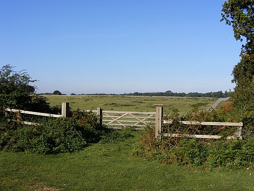
This circular walk from the village visits Minsmere Nature Reserve, Westleton Heath and Dunwich Heath. The area is great for wildlife with Dartmoor Ponies and red deer to look out for on the way.
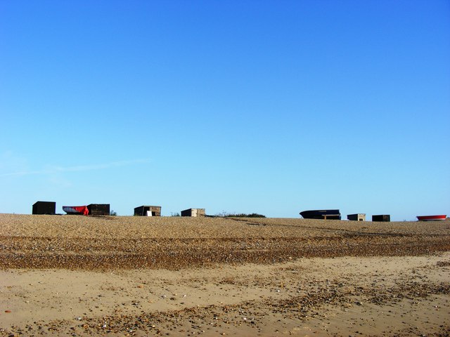
The walk starts in the village and heads south past Westleton Common towards Hangmans New Wood. You can then follow bridleways heading north east across an area known as the Westleon Walks. This will take you past Saunders Hill to Dunwich Heath where you can pick up a section of the Suffolk Coast Path and head past Greyfriars Wood to the beach at Dunwich.
You then head west along Dunwich Forest before exploring Westleton Heath where there's a number of different footpaths and lots of pretty heather in the late summer. You'll pass Broom Hill and Cutten's Hill before returning to the village.
Postcode
IP17 3AD - Please note: Postcode may be approximate for some rural locationsWestleton Ordnance Survey Map  - view and print off detailed OS map
Westleton Open Street Map  - view and print off detailed map
Westleton OS Map  - Mobile GPS OS Map with Location tracking
Westleton Open Street Map  - Mobile GPS Map with Location tracking
Pubs/Cafes
Head to the historic Westleton Crown for some post walk refreshment. The pub is located in a fine spot on the village green and dates back to the 12th century. They serve fine food and also have a nice terraced garden area to relax in on warmer days. You can find them at postcode IP17 3AD.
Dog Walking
The woods, heath and coast are ideal for dog walking so you'll probably see plenty of other owners as you make your way through the area. The Westleton Crown pub mentioned above is also dog friendly.
Further Information and Other Local Ideas
To continue your walking in the area you could visit the nearby Suffolk Coast National Nature Reserve at Walberswick. It's located just north of Minsmere and includes waymarked trails taking you to heathland, reed beds, grassland, woodlands, shingle, lagoons, mudflats and the salt marshes of the Blyth estuary.
For more walking ideas in the area see the Sussex Walks and the Suffolk Coast and Heaths Walks pages.


