Windgather Rocks

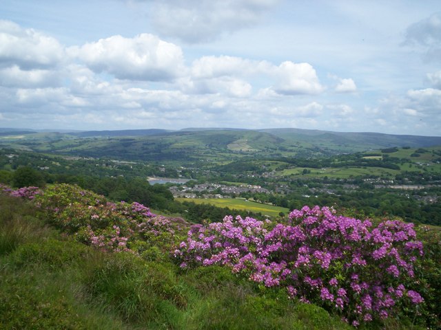
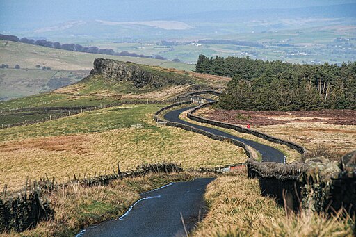
 This walk visits this interesting gritstone crag which is popular with rock climbers. There are fascinating geological rock formations and wonderful views over the Peak District to enjoy.
The walk starts from Whaley Bridge, near the train train station in the town. You then follow footpaths around the pretty Toddbrook Reservoir before climbing to Taxal Moor. From here you can enjoy super views back towards Whaley Bridge and the reservoir. The final section takes you along Taxal Edge to the rocks where you can enjoy splendid views over the surrounding countryside.
The walk can be extended by continuing south to Shining Tor and Cats Tor. It's a great ridge walk with more wide ranging views.
Also nearby are Errwood Reservoir and Fernilee Reservoirs where you can enjoy waterside trails.
Windgather Rocks Ordnance Survey Map  - view and print off detailed OS map
Windgather Rocks Open Street Map  - view and print off detailed map
Windgather Rocks OS Map  - Mobile GPS OS Map with Location tracking
Windgather Rocks Open Street Map  - Mobile GPS Map with Location tracking
Pubs/Cafes
After your walk head to the The White Hart pub on Market St in Whaley Bridge (postcode SK23 7HN). It's a popular and friendly pub with a beer garden overlooking the stream.
The Cock is another really good option and can be found on Buxton Road at postcode SK23 7JE. It has a nice interior and a beer garden to relax in during the warmer months.
Just to the north is the village of Kettleshulme where you could visit The Swan Inn. The historic pub dates back to the 15th Century and includes timber beams and an open log fire in Winter. There are two outdoor patio areas for warmer weather. You can find them at postcode SK23 7QU. They also provide car parking.
The Kettleshulme Walk starts from the village and takes you up to the rocks if you would prefer to start from there.
Further Information and Other Local Ideas
Just a couple of miles to the south west there's a nice circular trail to follow around Lamaload Reservoir. There's easy waterside paths and pleasant woodland trails in this quiet area.
For more walking ideas in the area see the Peak District Walks and the Cheshire Walks pages.


