Winterburn Reservoir Walk

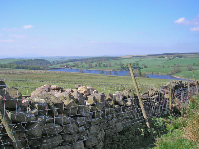
 This walk visits the Winterburn Reservoir in the Yorkshire Dales near the settlements of Winterburn and Hetton.
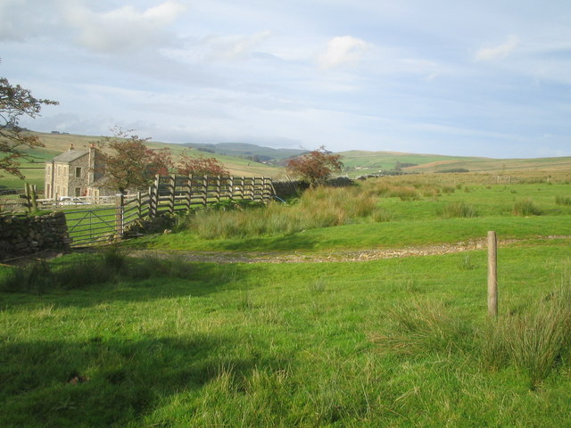
The reservoir is a little of the beaten track so a nice place for a peaceful walk in the Dales. On the western side of the water there's some nice waterside paths while on the eastern side you can climb to a fine viewpoint on a bridle track. There's lovely views across the water to the surrounding Dales countryside and hills.
Postcode
BD23 3QR - Please note: Postcode may be approximate for some rural locationsWinterburn Reservoir Ordnance Survey Map  - view and print off detailed OS map
Winterburn Reservoir Open Street Map  - view and print off detailed map
Winterburn Reservoir OS Map  - Mobile GPS OS Map with Location tracking
Winterburn Reservoir Open Street Map  - Mobile GPS Map with Location tracking
Further Information and Other Local Ideas
Just to the north west you can explore the popular Malham Tarn Estate and enjoy more waterside walking. The Dales High Way passes the lake and could be followed to the estate as an extension to your outing. The long distance waymarked trail explores many of the highlights of the Dales, running from Saltaire to Appleby-in-Westmorland for a distance of approximately 90 miles.
For more walking ideas in the area see the Yorkshire Dales Walks page.


