Yealmpton Walks

 This village in South Devon sits in a pleasnt riverside location just east of Plymouth. The pretty village includes some attractive cottages, an old church and the 400 year old Mother Hubbard's Cottage. The lady from the nursery rhyme lived in the cottage when working as the housekeeper at Kitley House.
This walk from the village follows part of the Erme Plym Trail to the lovely Yealm Estuary.
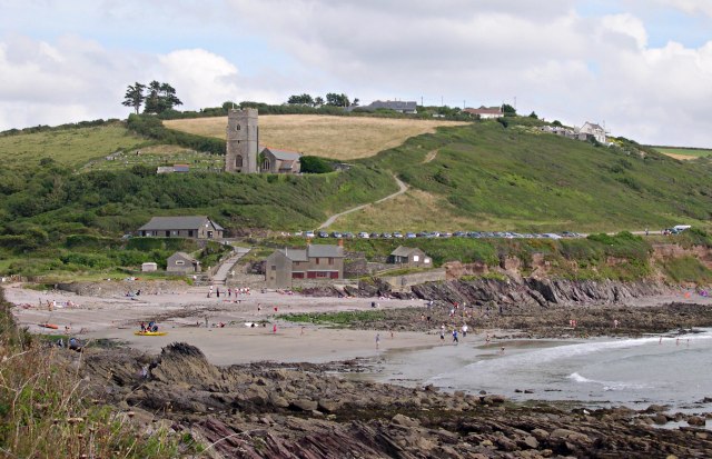
The walk starts in the village where you can pick up the Erme Plym Trail and follow the waymarked trail west to Brixton and Hollacombe Hill. The route then heads south, passing Wembury village before coming to Warren Point where the River Yealm and the coastal Wembury Bay meet. You can then follow the coastal path west along the Bay to Blackstone Rocks. Here you pick up the Erme Plym Trail again and head through the Churchwood Valley before retracing your steps to return to Yealmpton.
You can extend the walk by heading west along the South West Coast Path to Wembury Point and the scenic Heybrook Bay.
Yealmpton Ordnance Survey Map  - view and print off detailed OS map
Yealmpton Open Street Map  - view and print off detailed map
Yealmpton OS Map  - Mobile GPS OS Map with Location tracking
Yealmpton Open Street Map  - Mobile GPS Map with Location tracking
Walks near Yealmpton
- Modbury - This large village in South Devon is a nice place to enjoy a stroll
- Rame Head - This circular walk explores the beautiful Rame Peninsula on the Cornish Coast
- Gara Point Yealm Estuary - This circular coastal walk near Newton Ferrers visits Gara Point with wonderful views over the Yealm Estuary.
The walk starts from the National Trust car park at Warren and follows the South West Coast Path to Gara Point, passing Blackstone Point SSI on the way - Erme Plym Trail - Follow the Erme - Plym trail from Ivybridge to Laira Bridge on the outskirts of Plymouth on this pleasant walk through Devon
- Noss Mayo - This splendid circular walk takes you around a particularly beautiful area of the South Devon coast
- Wembury Point - This delightful area near Plymouth has recently been restored by the National Trust
- Plymouth's Waterfront Walkway - A nice easy walk along a section of the south west coast path which highlights the city's history and heritage
- Newton Ferrers - This pretty village in South Devon is in a great location for coastal walking
- Portwrinkle and Whitsand Bay - This walk takes you along a lovely section of the South West Coast Path from Portwrinkle to Rame Head on the Cornish coast.
Pubs/Cafes
Back in the village you can enjoy some post walk rest and refreshment at the Rose and Crown. There's a cosy interior with a roaring fire and a sun trap garden outside. They have a restaurant selling high quality food and also provide accommodation if you'd like to stay in the area. You can find them on Market Street at postcode PL8 2EB for your sat navs.
Dog Walking
The country and coastal trails make for a fine dog walk. The Rose and Crown mentioned above is also dog friendly.
Further Information and Other Local Ideas
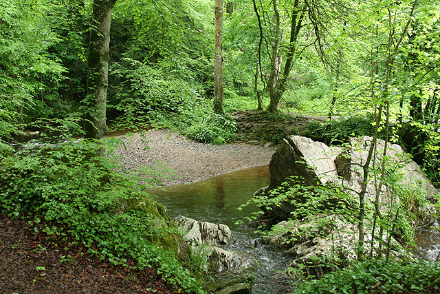
Just to the south of the village there's Rough Torrs to explore. The secluded valley has some nice woodland trails along the river.


