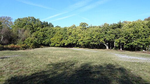
Croham Hurst

 Explore these geologically significant ancient woods on this short walk in Croydon. There's a number of footpaths to follow around the 83 acre site including a climb to Breackneck Hill. At the high points you will find seats where you can relax and enjoy the views of the surrounding area. The woods consist of hazel, beech, oak, wood anemones, wavy hair-grass, heather and bilberry.
The Vanguard Way and London Loop long distance paths both run close to the woods so you can pick these up to extend your walk. If you head north east you will soon come to Addington Hills where there is a great viewpoint and London's largest area of heathland. Head south east and you come to Littleheath Woods and Selsdon Wood. Here you'll find 200 acres of ponds, open meadows and ancient woodland.
Postcode
CR2 7HJ - Please note: Postcode may be approximate for some rural locationsCroham Hurst Ordnance Survey Map  - view and print off detailed OS map
Croham Hurst Open Street Map  - view and print off detailed map
Croham Hurst OS Map  - Mobile GPS OS Map with Location tracking
Croham Hurst Open Street Map  - Mobile GPS Map with Location tracking
Further Information and Other Local Ideas
The circular Croydon Walk starts at the train station in the nearby town. It follows the London Loop to the Addington Hills before heading to Selsdon Wood and Croham Hurst.
For more walking ideas in the area see the London Walks page.


