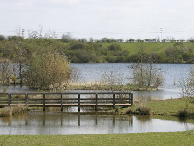
Crown Lakes Country Park

 Enjoy a stroll around the pretty lakes in this country park in Peterborough. There's 85 acres to explore with a series of footpaths taking you around the meadows, woodland and lakes. Look out for butterflies such as the black hairstreak and grizzled skipper. You may also see muntjac deer, badger and fox. The park is located just to the south of Peterborough town centre. If you'd like to extend your walk then you could head to the nearby Ferry Meadows Country Park for more waterside footpaths.
Postcode
PE7 3AZ - Please note: Postcode may be approximate for some rural locationsCrown Lakes Country Park Ordnance Survey Map  - view and print off detailed OS map
Crown Lakes Country Park Open Street Map  - view and print off detailed map
Crown Lakes Country Park OS Map  - Mobile GPS OS Map with Location tracking
Crown Lakes Country Park Open Street Map  - Mobile GPS Map with Location tracking
Further Information and Other Local Ideas
The Peterborough Green Wheel is a great way of further exploring the city on a signed route. The fairly easy 20 mile circular trail visits Ferry Meadows, the River Nene Way and the villages of Marholm and Etton. It is suitable for both cyclists and walkers.
For more walking ideas in the area see the Cambridgeshire Walks page.

