Groombridge Walks - Groombridge Place

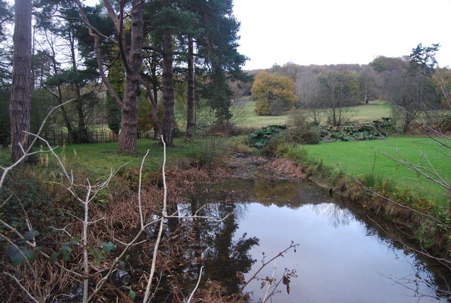
 The village of Groombridge is located on the border between Kent and East Sussex. It's in in a great spot for walking with the countryside of the High Weald AONB and the grounds of Groombridge Place to explore.
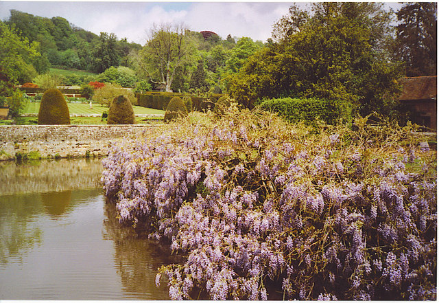
This circular walk from the village starts near the train station and follows the waymarked Tunbridge Wells Circular Walk to Groombridge place. Here you'll find beautiful gardens surrounding a moated manor house. There are a series of award winning gardens with delightful features such as a moat, streams and herbaceous borders. Highlights include the Secret Garden with blue agapanthus, foxgloves and gazania. The Oriental Garden has Japanese maples and an unusual grass fountain at its centre. The Knot Garden has a lovely pathway bordered by Yew Trees and a giant chessboard opposite.
Wildlife is an important aspect of Groombridge Place. There are resident peacocks, goats, sheep, chickens, turkeys, piglets, alpacas, reindeer and Shetland ponies. There is also a zedonk - an unusual creature that is half donkey, half zebra. In the woodland section you should look out for deer.
The Raptor Centre puts on magnificent flying displays featuring feature eagles, hawks, owls and falcons and takes place at 12.30pm and 3.30 pm.
The 17th century manor was used Longbourn (home of the Bennets) for the 2005 film Pride and Prejudice starring Keira Knightley. Sir Arthur Conan Doyle, who lived in nearby Crowboroug, was a regular visitor to Groombridge Place. He used the house and gardens in some of his Sherlock Holmes stories and also took part in séances at the manor.
After exploring the gardens you can follow alternative footpaths past the River Grom and back to the village centre.
The Tunbridge Wells Circular Walk runs past the house so you could pick this trail up to continue your walk into the surrounding countryside.
Please click here for more information
Groombridge Place Gardens Ordnance Survey Map  - view and print off detailed OS map
Groombridge Place Gardens Open Street Map  - view and print off detailed map
Groombridge Place Gardens OS Map  - Mobile GPS OS Map with Location tracking
Groombridge Place Gardens Open Street Map  - Mobile GPS Map with Location tracking
Pubs/Cafes
Head to the Crown Inn for some refreshments after your walk. It's located in a great spot just across the road from Groombridge Place. The historic 16th century pub is one of the oldest in the South of England. There's a charming interior with a cosy beamed restaurant and log fires. They do high quality food and can be found at a postcode of TN3 9QH for your sat navs.
Dog Walking
Only guide dogs and assistance dogs are admitted into all facilities in Groombridge Place but the other public footpaths on the route are fine for dog walking. The Crown Inn mentioned above is dog friendly.
Further Information and Other Local Ideas
Just to the south of the village you can pick up the High Weald Landscape Trail and use it to explore the countryside and woods of the High Weald AONB.
The Forest Way starts/ends at the village. This shared cycling and walking trail runs along a disuses railway line to nearby Forest Row and East Grinstead.
The expansive Ashdown Forest is also not far from the village.
The circular Speldhurst Walk visits the gardens from the nearby village. The interesting settlement includes an ancient pub dating back 1212.
For more walking ideas in the area see the Kent Walks and High Weald Walks pages.


