Silbury Hill

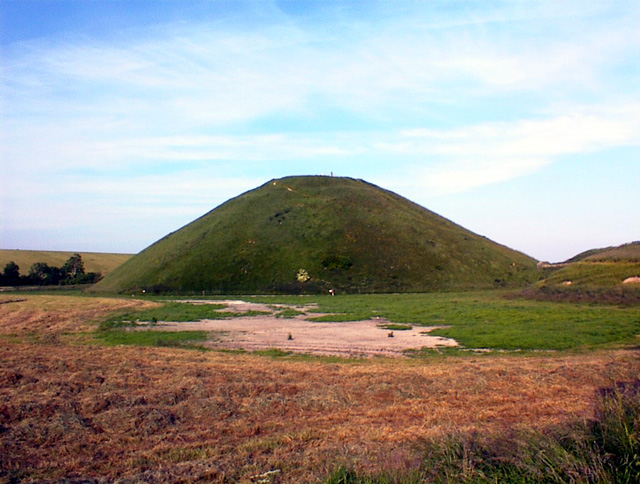
 This circular walk takes you around the Silbury Hill ancient monument near Avebury in Wiltshire. The hill stands at a height of 30 metres (98 ft) making it the tallest prehistoric man-made mound in Europe. It is thought to have been created around 2400 BC, though its original purpose is up for debate. Silbury is part of the Stonehenge, Avebury and Associated Sites UNESCO World Heritage Site, making it a significant historical site.
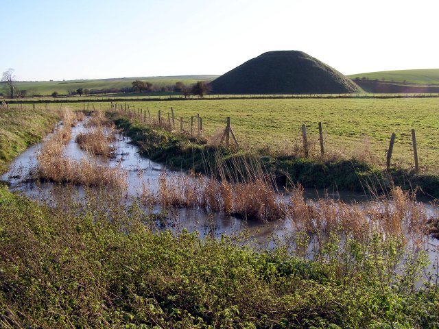
The walk starts from the car park off the A4, next to the hilll. You follow a good footpath around the hill and cross the River Kennet, before picking up the White Horse Trail to take you along the river. Look out for water voles on this section of the walk. A path along the A4 leads back to the car park.
If you'd like to extend your walk you could follow the White Horse Trail to the fascinating Avebury Stone Circle which lies less than a mile to the north of Silbury Hill. Head west along the waymarked trail and you will soon arrive at the Cherhill White Horse which is also well worth a visit.
Postcode
SN8 1QH - Please note: Postcode may be approximate for some rural locationsPlease click here for more information
Silbury Hill Ordnance Survey Map  - view and print off detailed OS map
Silbury Hill Open Street Map  - view and print off detailed map
Silbury Hill OS Map  - Mobile GPS OS Map with Location tracking
Silbury Hill Open Street Map  - Mobile GPS Map with Location tracking
Explore the Area with Google Street View 
Pubs/Cafes
After your walk you could head to the Red Lion pub (Postcode:SN8 1RF) at Avebury. This quaint thatched pub has outdoor seats and was built above an ancient well. The pub has views directly into the inner part of the Averbury Stone Circle so is located just a stones throw away from the site! There's also the nearby Waggon & Horses pub (Postcode:SN8 1QJ). This delightful thatched country pub-restaurant, was built in 1669, and includes log fires and an eclectic food menu.
Further Information and Other Local Ideas
Just to the south of the hill you could enjoy another short climb to the noteworthy West Kennet Long Barrow. Here you'll find one of the largest, most impressive and most accessible Neolithic chambered tombs in the country.
Head east from Avebury on the Wessex Ridgeway and you will soon come to Fyfield Down National Nature Reserve and the Grey Wethers. These ancient stones are considered the best assemblage of sarsen stones in England.
For more walking ideas in the area see the Wiltshire Walks and the North Wessex Downs Walks pages.


