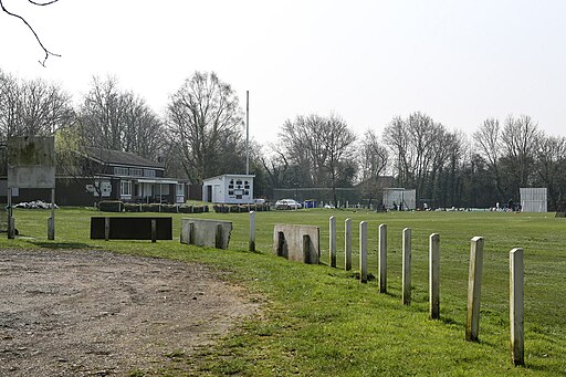
Stanmore Common

 This is a walk across Stanmore Common to Aldenham Country Park using part of the London Loop long distance trail. You can park at the Stanmore Common car park off Warren Lane to start your walk. The trail then takes you across the park's woodland and heathland before passing the two artificially created ponds. You then head along the eastern side of the common to Aldenham Reservoir where you can enjoy a waterside stroll and grab some refreshments at the cafe. You can then return to the common on the same paths. It's just over a 2 mile walk from the common to Aldenham so about 4.5 miles in total.
There's lots of wildlife to look out for in this area. Keep your eyes peeled for muntjac deer, spotted flycatcher and bullfinch on your walk.
You can extend your walk by heading west along the London Loop to Harrow Weald Common and Oxhey Woods. The woods have an excellent 1km sculpture trail with various carved wooden pieces and a rhododendron trail to try.
Postcode
HA7 4LB - Please note: Postcode may be approximate for some rural locationsStanmore Common Ordnance Survey Map  - view and print off detailed OS map
Stanmore Common Open Street Map  - view and print off detailed map
Stanmore Common OS Map  - Mobile GPS OS Map with Location tracking
Stanmore Common Open Street Map  - Mobile GPS Map with Location tracking
Pubs/Cafes
Just to the west is The Hare public house which dates to the 19th century. The beautiful garden here is a real hidden gem, with a covered heated outdoor tent area, a couple of colourful heated beach huts and lots of green space to enjoy dining al fresco. You can find them at postcode HA3 6SD for your sat navs.
Dog Walking
The common is a fine place for a dog walk with its woodland and heathland paths. The Hare mentioned above is also dog friendly.
Further Information and Other Local Ideas
The Borehamwood Walk starts from the train station in the town. It visits the common, Aldenham Country Park, Bentley Priory and Harrow Weald Common. It's a nice way of seeing some of the walking highlights of the area using public transport.
For more walking ideas in the area see the London Walks page.


