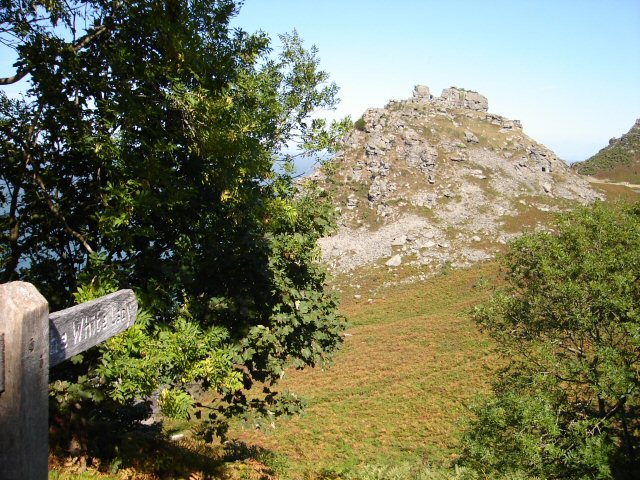
Valley of the Rocks

 This walk visits the amazing Valley of the Rocks in the Exmoor National Park. The dry valley contains the geological marvels known as the Lynton Beds. These ancient rocks are a spectacular sight and hugely popular with walkers.
This 4 mile circular walk starts in Lynton and heads west along the South West Coast Path to the Valley. Look out for feral goats as you make your way through the countryside. It's a good path and a fairly easy climb from Lynton, with wonderful views of the North Devon coast. You'll pass Wringcliff Bay, Castle Rock, Lee Bay and Lee Abbey.
Valley of the Rocks Ordnance Survey Map  - view and print off detailed OS map
Valley of the Rocks Open Street Map  - view and print off detailed map
Valley of the Rocks OS Map  - Mobile GPS OS Map with Location tracking
Valley of the Rocks Open Street Map  - Mobile GPS Map with Location tracking
Explore the Area with Google Street View 
Further Information and Other Local Ideas
Head west of the rocks and you can visit the nearby Woody Bay. Here you'll find a peaceful wooded cove with waterfalls, woodland trails and splendid views of the Bristol Channel.
For more walking ideas in the area see the Devon Walks and the Exmoor Walks pages.


