White Sheet Hill - Stourton Walk

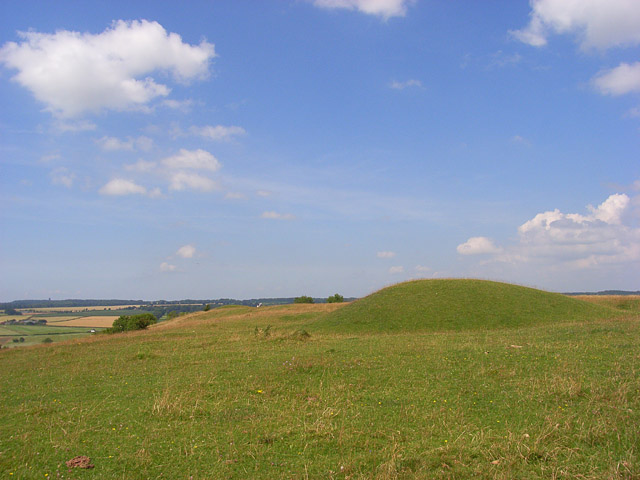
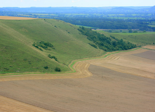
 Climb to the 245 m (804 ft) summit of this hill in Wiltshire and enjoy wonderful views over the Stourhead Estate and the surrounding countryside.
The hill is located about 2 miles to the east of Stourton. You can park at the Stourhead estate National Trust car park and follow footpaths to Drove Lodge before picking up a track to the hill. The area is covered with rare and protected fauna and flora including various wildflowers, several species of orchid, the chalkhill blue butterfly and the golden plover. It is also of archaeological significance with an Iron Age Hill Fort, neolithic causeway camp and barrows. The views over the Cranborne Chase AONB and the Somerset, Dorset and Wiltshire countrsyside are extensive.
If you would like to continue your walking in the area then you could explore the Stourhead Estate. Here you will find mile of footpaths taking you around an exquisite lake and through woodlands, parkland and gardens.
You can also climb to the hill from the nearby town of Mere, which lies just to the south.
The Stour Valley Way long distance trail starts at Stourton so you could pick up this waymarked trail to continue your walking in the area.
Postcode
BA12 6QD - Please note: Postcode may be approximate for some rural locationsPlease click here for more information
White Sheet Hill Ordnance Survey Map  - view and print off detailed OS map
White Sheet Hill Open Street Map  - view and print off detailed map
White Sheet Hill OS Map  - Mobile GPS OS Map with Location tracking
White Sheet Hill Open Street Map  - Mobile GPS Map with Location tracking
Pubs/Cafes
After your walk head to The Spread Eagle Inn on the Stourhead Estate for some refreshments. The eighteenth-century inn offers lunches, snacks, evening meals, cakes, tea and coffee, as well as a great selection of wines, beers, and gins. There's also a nice outdoor seating area to relax in during the summer months. You can find the inn at Church Lawn on the estate with postcode BA12 6QE for your sat navs.
Further Information and Other Local Ideas
The Mere Walk climbs to the hill from the nearby town. Mere is well worth a visit with a photogenic market square, 19th century clock tower, the excellent viewpoint at Long Hill and a fine 16th century coaching inn for refreshment afterwards.
For more walking ideas in the area see the Wiltshire Walks and the Cranborne Chase Walks page.


