Yarner Woods

 This large woodland area near Bovey Tracey is part of the East Dartmoor Woods and Heaths National Nature Reserve.
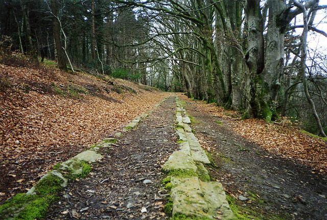
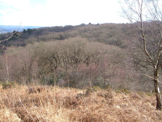
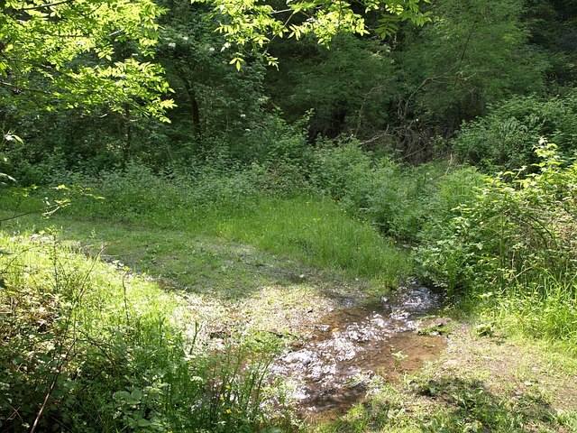
It's a great area for walking with miles of woodland paths to follow. The area is dominated by ancient oak but there are other species such as birch, scots pine, larch and beech. Other flora includes flowers such as cow-wheat and bilberry, and various Lichens and mosses.
Look out for an abundance of wildlife including doormice and butterflies. Birdlife includes pied flycatcher, redstart, buzzards, sparrow hawks and nightjars.This circular walk starts at the car park at the eastern end of the woods but you could also follow the Templer Way from nearby Bovey Tracey to reach the woods.
Yarner Woods Ordnance Survey Map  - view and print off detailed OS map
Yarner Woods Open Street Map  - view and print off detailed map
Yarner Woods OS Map  - Mobile GPS OS Map with Location tracking
Yarner Woods Open Street Map  - Mobile GPS Map with Location tracking
Pubs/Cafes
The Bell Inn in Bovey Tracey is a great option for some refreshments. The friendly, cosy pub has a good menu and a very fine garden area to relax in on warmer days. You can find it at Town Hall Place with postcode TQ13 9AA for your sat navs.
Less than half a mile south of the woods you'll find the little village of Haytor Vale. Here you can visit the Rock Inn, an impressive 18th century former coaching inn. The inn has a lot of character with a cosy interior and a nice sunny beer garden to relax in on warmer days. There's a very good menu and an on-site restaurant featuring local meat, game and fish. The Rock also has a free car park and is dog friendly with a separate dining area where you can eat with your dog. They provide good quality accommodation too, if you need to stay over. It's a popular place for walkers to go after climbing Hound Tor and Haytor being located just a short distance from both. Postcode for your sat navs is TQ13 9XP.
Further Information and Other Local Ideas
The climbs to Haytor and Hound Tor are located very close to the woods. They are two of the more popular landmarks on Dartmoor and well worth visiting if you have time after exploring the woods.


