Lathkill Dale Walk
8.1 miles (13 km)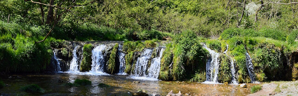
Lathkill Dale is one of my favourite Peak District walks, with its combination of clear riverside walking, limestone cliffs, woodland, waterfalls and open countryside making it a really varied day out.
We did the walk in summer when the dale was looking particularly beautiful, with lush green vegetation, wildflowers along the river and the clear water sparkling in the sunshine. It was a lovely day for a family walk, and the scenery gave us plenty of reasons to stop and take it all in.We started in Monyash, where there's a public car park and a couple of good options for refreshments before or after the walk. From the village the route heads through Bagshaw Dale before eventually reaching the River Lathkill. This was one of my favourite parts of the walk, as the surroundings gradually become more wooded and the sound of the river gets louder as you approach it. In summer there was plenty of colour from the wildflowers along the banks, and I stopped several times to take photographs.
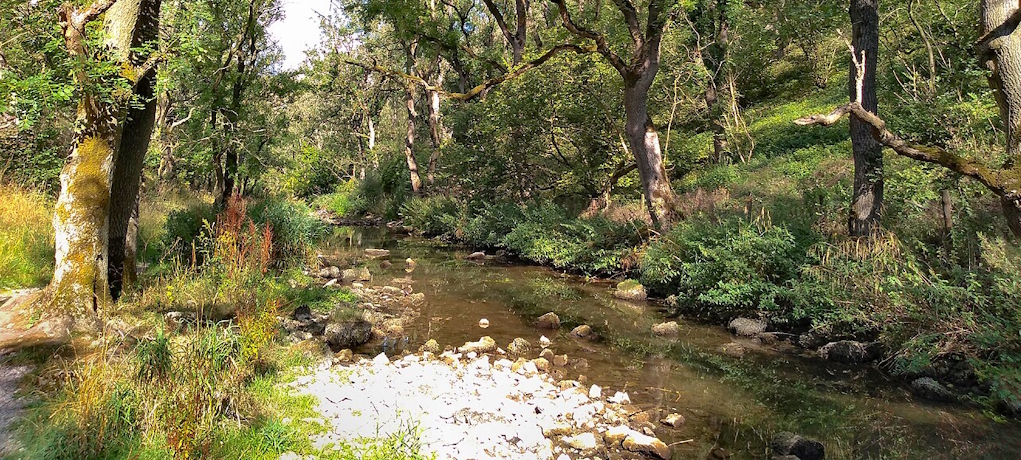
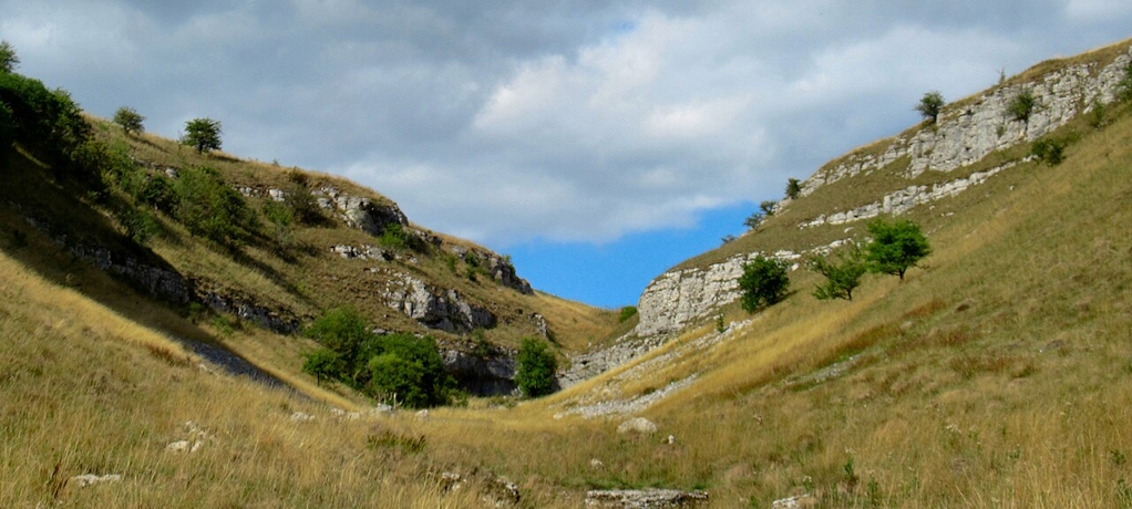
We followed the river back for part of the way before crossing over and joining the Limestone Way for the return to Monyash. I liked the change of scenery here, as the route leaves the riverside behind and opens out into more traditional Peak District countryside. Most of the walk is fairly easy going and there aren't any major climbs, which makes it a good choice for a family day out, although there are naturally some uneven sections where the path follows the river.
Other local walking ideas
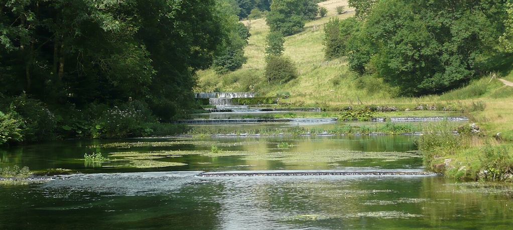
There are plenty of ways to extend the outing if you want to explore more of this part of the Peak District. You can continue along the river towards Alport, while the Youlgreave Circular Walk provides another way of exploring Lathkill Dale. The nearby Bradford Dale offers more attractive waterside walking, while Arbor Low is a fascinating Neolithic site just to the south. For something a little different, the historic Magpie Mine is also only a short drive away.
 OpenStreetMap
 OpenStreetMap (Mobile GPS)
Interactive Map
 Ordnance Survey Map Full Screen>>
 OS Map (Mobile GPS)