Brockwell Park
![]()
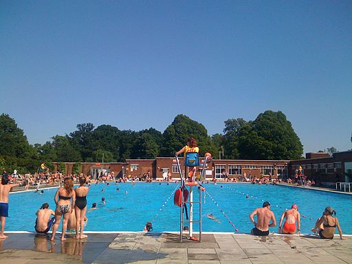
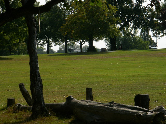
![]() This park near Brixton has a cycle path running around the perimeter. There are also good footpaths taking you around the 50 hectare (125 acres) site with its pretty lake and wide lawns. In the park you can climb a small hill and enjoy views of the skyline of the city and Central London. Here you will find the early 19th century Brockwell Hall where you can enjoy refreshments in the cafe. There is also a popular open-air swimming pool named Brockwell Lido with a a Grade II listed art deco building and cafe. There are good family facilites with a playground, paddling pool and miniature railway.
This park near Brixton has a cycle path running around the perimeter. There are also good footpaths taking you around the 50 hectare (125 acres) site with its pretty lake and wide lawns. In the park you can climb a small hill and enjoy views of the skyline of the city and Central London. Here you will find the early 19th century Brockwell Hall where you can enjoy refreshments in the cafe. There is also a popular open-air swimming pool named Brockwell Lido with a a Grade II listed art deco building and cafe. There are good family facilites with a playground, paddling pool and miniature railway.
If you'd like to continue your exercise then Clapham Common and Tooting Bec Common are both close by.
Dulwich Woods and Sydenham Woods are also only about 1.5 miles to the south east.


