Burton Marshes Greenway Cycle Route
![]()
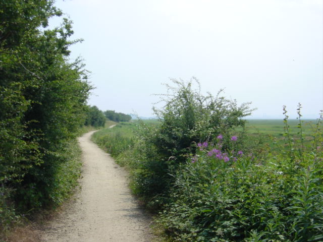
![]() This route in Cheshire follows a dismantled railway and National Cycle Route 568 from Neston to the Deeside Industrial Park.
This route in Cheshire follows a dismantled railway and National Cycle Route 568 from Neston to the Deeside Industrial Park.
The ride runs for just under 7 miles with much of it taking place on traffic free surfaced paths.
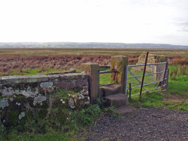
The route starts off in Neston just to the south of the train station. You then head south following the trail along the the RSPB’s Burton Mere Wetlands on the River Dee Estuary. Here you can look out for a variety of birdlife including black tailed godwit, marsh harrier, avocets, little egret, redshanks, swallows and swifts.
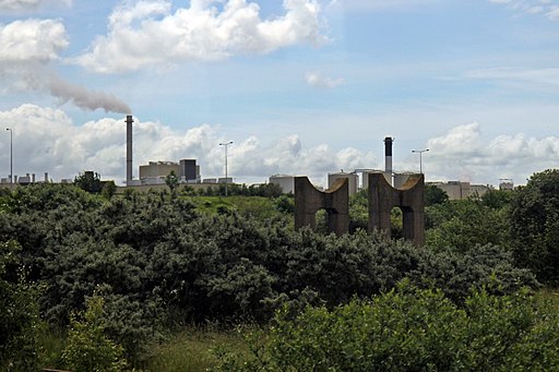
You'll pass Little Neston and Nessholt before passing through the Deeside Industrial Park and finishing on the River Dee at Hawarden Bridge train station.
Route 568 continues east along a riverside path if you would like to extend the ride.
Burton Marshes Greenway Ordnance Survey Map  - view and print off detailed OS map
Burton Marshes Greenway Open Street Map  - view and print off detailed map
Burton Marshes Greenway OS Map  - Mobile GPS OS Map with Location tracking
Burton Marshes Greenway Open Street Map  - Mobile GPS Map with Location tracking
Pubs/Cafes
At Little Neston you could stop off for a rest and some refreshments at The Harp Inn. The inn sits in a delightful location on the banks of the Dee Marshes with wonderful views overlooking North Wales. They serve good homemade food and have a nice outdoor seating area. You can find them at 19 Quayside, Little Neston, CH64 0TB.
The pub has a car parking area and is also dog friendly.
Further Information and Other Local Ideas
At the northern end of the route you could pick up the Wirral Way. The popular cycling and walking trail will take you on a tour of the beautiful Wirral Peninsula.
At the southern end of the route you link up with Sustrans National Cycle Route 5 and the Chester Millennium Greenway.
The route passes close to Ness Botanical Gardens which are well worth a visit if you have time. There's 64 acres of beautiful gardens with show gardens, Victorian-style potager, Alpine house and cafe to see here.
Cycle Routes and Walking Routes Nearby

Footpath to Denhall Lane, Ness


