Capstone Farm Country Park
![]()
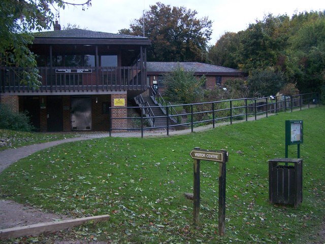
![]() Enjoy several cycling and walking trails in this delightful country park near Gillingham. The park is located in the beautiful North Downs with ancient woodlands, old orchards, a freshwater lake and wildflower meadows to explore. There's excellent facilities with a Visitor Centre, cafe and picnic areas.
Enjoy several cycling and walking trails in this delightful country park near Gillingham. The park is located in the beautiful North Downs with ancient woodlands, old orchards, a freshwater lake and wildflower meadows to explore. There's excellent facilities with a Visitor Centre, cafe and picnic areas.
You can extend the walk by heading south along public footpaths which will take you to Hook Wood, near Lidsing.
Postcode
ME7 3JG - Please note: Postcode may be approximate for some rural locationsCapstone Farm Country Park Ordnance Survey Map  - view and print off detailed OS map
Capstone Farm Country Park Open Street Map  - view and print off detailed map
Capstone Farm Country Park OS Map  - Mobile GPS OS Map with Location tracking
Capstone Farm Country Park Open Street Map  - Mobile GPS Map with Location tracking
Pubs/Cafes
There's a nice on site cafe overlooking the lake where you can enjoy refreshments after your exercise.
Dog Walking
With parkland and woodland trails the park is very popular with dog walkers so you're bound to see other dogs on your visit.
Further Information and Other Local Ideas
A couple of miles south west of the park you can visit the Medway Megaliths. Here you can explore a series of early Neolithic chambered long barrows and megalithic monuments located in the lower valley of the River Medway. You can also climb to a splendid North Downs viewpoint at Blue Bell Hill near here.
Two long distance trails pass near to the ancient site in the shape of the North Downs Way and the Pilgrims Way. Both of these waymarked paths provide and opportunity for further exploring the surrounding countryside.
For more walking ideas in the area see the Kent Walks and North Downs Walks pages.
Cycle Routes and Walking Routes Nearby
Photos
Bridleway in the park. This bridleway leads through and on a special route around the country park. This is taken near the Orchard Car park.
Capstone Lake and Cafe. Fishing space seen in foreground. Many people feed the ducks during the day, from the steps seen in the photo


