Castle Eden Walkway
![]()
![]() Enjoy a cycle or walk along this disused railway line which runs along National Cycle Network Route 1. It's a nice easy traffic free ride for families or beginners.
Enjoy a cycle or walk along this disused railway line which runs along National Cycle Network Route 1. It's a nice easy traffic free ride for families or beginners.
The route starts to the west of the County Durham village of Castle Eden and heads south through Wingate to Station Town. You continue past the pretty Hurworth Burn Reservoir. There's a nice circular trail around the water and some benches where you can stop for a rest. It's a lovely peaceful spot with lots of birds to look out for on the water.
The route then continues past Brierley Wood and Thorpe Wood Nature Reserve, where there are more wildlife spotting opportunites. The route finishes at the lovely Wynyard Woodland Park. This country park in Billingham has woodland trails, a wildflower meadow and a planetarium and observatory. There's also a nice cafe where you can refresh yourself after your exercise.
Near the start of the route there is the splendid Castle Eden Dene National Nature Reserve. The reserve contains a wide variety of flora and fauna, woodland trails and the pretty Castle Eden Burn.
Castle Eden Walkway Ordnance Survey Map  - view and print off detailed OS map
Castle Eden Walkway Open Street Map  - view and print off detailed map
Castle Eden Walkway OS Map  - Mobile GPS OS Map with Location tracking
Castle Eden Walkway Open Street Map  - Mobile GPS Map with Location tracking
Pubs/Cafes
The cafe in Wynyard Woodland Park is a good option but you could also head to the Castle Eden Inn. It's located just to the east of the path near the start. They do very good food and also have two beer gardens where you can sit outside on warmer days. It's a welcoming place with a cosy atmosphere and is also dog friendly. You can find it on Stockton Rd with a postcode of TS27 4SD for your sat navs.
Further Information and Other Local Ideas
Near the start of the route you can link up with National Cycle Route 14 and the Haswell to Hart Countryside Walkway. The multi-user trail uses the trackbed of a disused railway line to travel between the two old stations.
Cycle Routes and Walking Routes Nearby
Photos
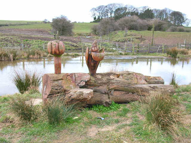
At the northern end of the route there are a couple of interesting wood carvings such as this seat seen here. Brdwatchers can spot species such as robins, blackbirds, and song thrushes within the wooded areas. Sparrowhawks and kestrels may be seen overhead, hunting in the open fields. The grasslands and scrubby areas provide habitat for small mammals like voles and shrews, which in turn attract predators like foxes and weasels. Bats can often be observed at dusk, feeding on the abundant insects. Amphibians, including frogs and newts, are present in wetter areas near the route.
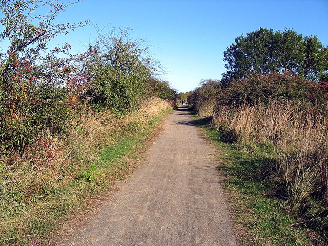
Nice view of the path. Flora in the area includes an array of trees such as oak, ash, and sycamore. In spring, the woodland floor is carpeted with bluebells, wild garlic, and wood anemones, creating a vibrant and fragrant setting. Hedgerows and verges along the route support species like hawthorn, elder, and bramble, alongside wildflowers such as cowslips, ox-eye daisies, and red campion. These flowers are particularly attractive to pollinators, including bees and butterflies.
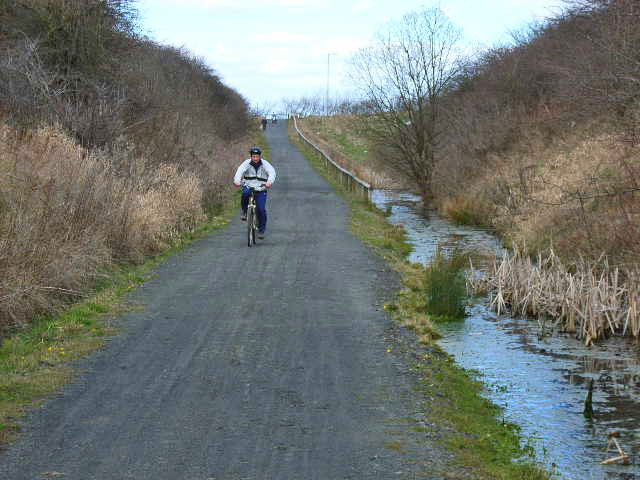
The Castle Eden Walkway is a foot- and cycle-path which follows the line of a disused railway which traverses County Durham from north to south. Part of the National Cycle Network. Drainage in cuttings is often a problem on railway paths - solved here by excavating a longitudinal pond alongside the path
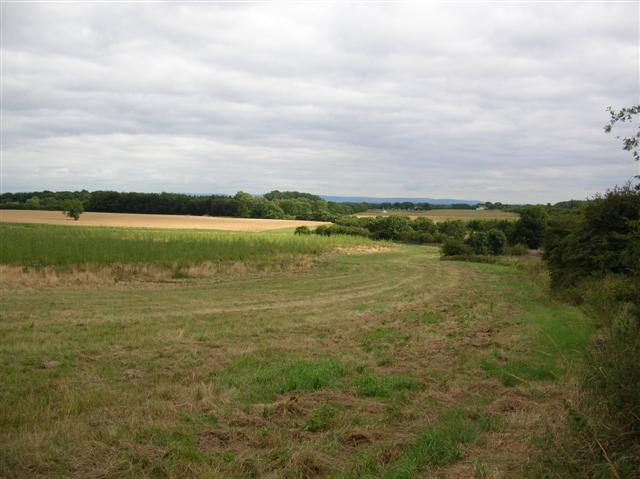
Footbridge over north west corner of Hurworth Burn Reservoir, just south of the start point. This carries a public footpath giving access to surrounding countryside at the site of this reservoir which is owned by The Hartlepool Water Company. The trail passes along the eastern side of the reservoir.


