Chorley Loop Cycle Route
9.9 miles (16 km)
![]()
![]() A 10 mile circular cycle route exploring the area surrounding the Lancashire town of Chorley.
A 10 mile circular cycle route exploring the area surrounding the Lancashire town of Chorley.
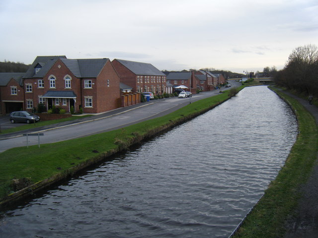
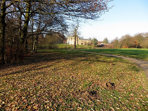
Route highlights include a pleasant run along the Leeds and Liverpool Canal and a visit to the lovely Astley Park. The southern section of the ride skirts the edge of Yarrow Valley Country Park where there are miles of pleasant woodland off road tracks to try.
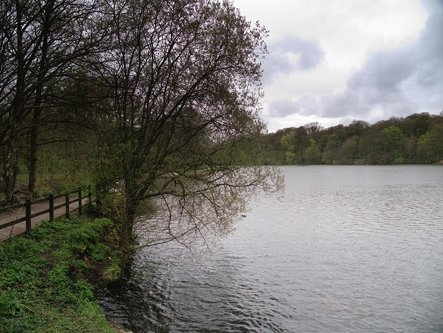
Just north of the route there's also Cuerden Valley Park to explore. There's more traffic free paths, a lake and views of the River Lostock here.
Part of the route uses a section of National Cycle Route 55. This signed Sustrans trail is a good way to extend your outing if you have time.
Chorley Loop Ordnance Survey Map  - view and print off detailed OS map
Chorley Loop Open Street Map  - view and print off detailed map
Chorley Loop OS Map  - Mobile GPS OS Map with Location tracking
Chorley Loop Open Street Map  - Mobile GPS Map with Location tracking
Cycle Routes near and around Chorley
- Leeds and Liverpool Canal - Enjoy waterside cycling and walking along Britain's longest single canal
- Astley Park - This pretty park in Chorley has walking paths and a cycle track to enjoy
- National Cycle Route 55 - This signed Sustrans Cycle Route runs from Ironbridge to Preston via Cheshire and Greater Manchester.
- Yarrow Valley Country Park - Enjoy a long, waterside walk along the River Yarrow in this splendid 700 acre country park in Chorley, Lancashire
- Cuerden Valley Park - This lovely short ride or walk takes you through the Cuerden Valley Country Park in Bamber Bridge, Lancashire.


