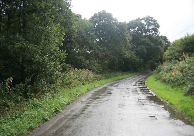
Grogley Woods MTB and Walks
![]()
![]() These woods south of Wadebridge are a popular place for mountain bikes with several black MTB trails to try.
These woods south of Wadebridge are a popular place for mountain bikes with several black MTB trails to try.
You can pick up the trails just to the west of the River Camel on the Grogley Road. There's some good downhill lines on a number of red and black MTB trails.
You can continue your exercise to the east of the woods by picking up the Camel Trail. It's an easy cycle and walking trail running along the river to Wadebridge or Bodmin.
Scroll down for a great video showing the trails on an e bike.
Postcode
PL30 5LX - Please note: Postcode may be approximate for some rural locationsGrogley Woods Ordnance Survey Map  - view and print off detailed OS map
Grogley Woods Open Street Map  - view and print off detailed map
Grogley Woods OS Map  - Mobile GPS OS Map with Location tracking
Grogley Woods Open Street Map  - Mobile GPS Map with Location tracking
Further Information and Other Local Ideas
Head north east along the Camel Trail and it will lead to Blisland where you can pick up the Camelford Way and the Copper Trail. Here you'll also find the Blisland Inn, an award winning pub of some note, having been voted three times Cornwall CAMRA Pub of the Year and in 2001 becoming the campaign's national Pub of the Year. It's a fine place to visit if you are looking for a refreshing beverage after your walk.


