Hastings To Bexhill Coastal Walk And Cycle
![]()
![]() This traffic free waterfront route runs along National Cycle Route 2 from Hastings To Bexhill.
This traffic free waterfront route runs along National Cycle Route 2 from Hastings To Bexhill.
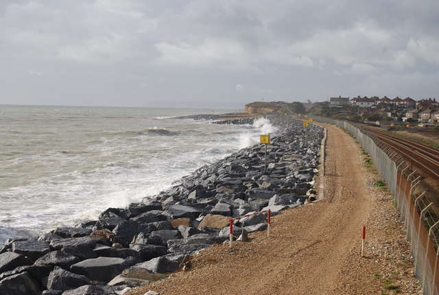
The trail runs for just under 5 miles along a disused railway line with fine views of the coast. Most of the route is traffic free so suitable for both cyclists and walkers.
On the way you could stop off at St. Leonards Gardens where there's some lovely footpaths, an ornamental pond, herbaceous plants, shrubs, bulbs, formal flower beds and trees. There's also some interesting architecture with villas surrounding the gardens, in Regency Gothic and cottage styles.
Hastings To Bexhill Ordnance Survey Map  - view and print off detailed OS map
Hastings To Bexhill Open Street Map  - view and print off detailed map
Hastings To Bexhill OS Map  - Mobile GPS OS Map with Location tracking
Hastings To Bexhill Open Street Map  - Mobile GPS Map with Location tracking
Cycle Routes and Walking Routes Nearby
Photos
St. Leonards Gardens, Hastings. Many well-known people have been linked to the gardens, including the young Princess Victoria, the writer Rider Haggard (King Solomon's Mines) who lived in the North Lodge and various distinguished visitors including Rudyard Kipling.


