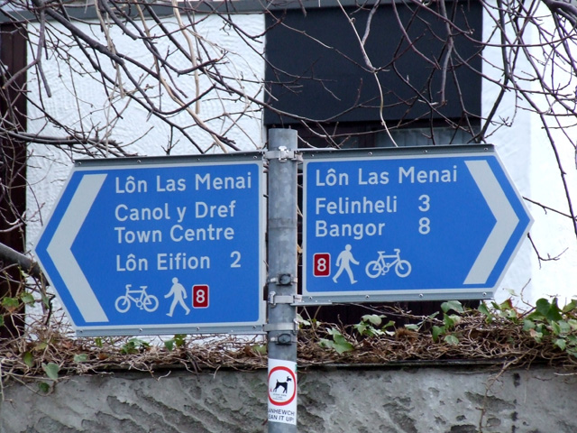
Lon Las Menai Cycle Route
![]()
![]() This traffic free cycle path runs along a dismantled railway line from Caernarfon to Y Felinheli in Gwynedd.
This traffic free cycle path runs along a dismantled railway line from Caernarfon to Y Felinheli in Gwynedd.
The route runs for just under 4 miles along the Menai Strait with fine views across the water to the Isle of Anglesey on the other side. The path makes use of the former Caernarfon to Bangor railway trackbed.
The route links with Lon Eifion at the southern end in Caernarfon. The longer trail will take you south along the old train line to Bryncir.
You could extend the ride by continuing north along National Cycle Route 8 to the Menai Bridge where you could cross over the water to reach the Isle of Anglesey.
As a traffic free ride the route is also suitable for walkers.
Lon Las Menai Ordnance Survey Map  - view and print off detailed OS map
Lon Las Menai Open Street Map  - view and print off detailed map
Lon Las Menai OS Map  - Mobile GPS OS Map with Location tracking
Lon Las Menai Open Street Map  - Mobile GPS Map with Location tracking
Further Information and Other Local Ideas
See the Snowdonia Cycle Routes page for more rides in the national park.
Cycle Routes and Walking Routes Nearby
Photos
The trail passes beneath accommodation bridge on part of the abandoned Bangor to Caernarfon railway near Y Felinheli.


