London to Dover Cycle Route
![]()
![]() This long route travels from London to Dover using National Cycle Route 1 to Canterbury and then Regional Route 16 to Dover. It runs for nearly 100 miles using a mixture of quiet roads and signed traffic free paths.
This long route travels from London to Dover using National Cycle Route 1 to Canterbury and then Regional Route 16 to Dover. It runs for nearly 100 miles using a mixture of quiet roads and signed traffic free paths.
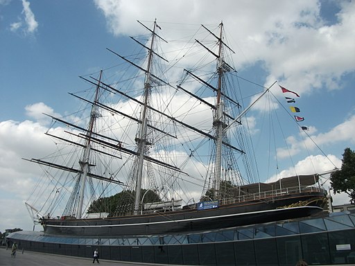
The route starts in Greenwich, by the famous Cutty Sark, and heads east along the riverside path to Erith. Here you turn south to follow the River Darent to Crayford and Dartford.
You continue east to Northfleet and Gravesend, where you leave the river to head through the countryside to Rochester. Here you pick up a trail along the River Medway, passing Gillingham, before a countryside stretch takes you to Sittingbourne. Here you pick up the Swale Heritage Trail to take you to Faversham. The route then heads towards Whitstable, skirting the edge of the town before turning south to Canterbury, via Clowes Wood.
At Canterbury you leave NCN Route 1 and pick up Regional Route 16 which heads south east through the North Downs to Aylesham and Whitfield before finishing at the famous port of Dover.
In Dover you can extend your exercise by picking up NCN Route 1 again. You can follow it along the coast to Deal on our Dover to Sandwich Cycle Route.


