National Cycle Route 57
![]()
![]() This signed Sustrans route runs from Gloucestershire based Farmington to Welwyn Garden City in Hertfordshire.
This signed Sustrans route runs from Gloucestershire based Farmington to Welwyn Garden City in Hertfordshire.
The route contains long traffic free sections along disused railways on the Ayot Greenway, the Phoenix Trail and the popular Nickey Line which runs between Hemel-Hempstead and Harpenden.
The start point is the village of Farmington which lies just east of Northleach. This means the opening section runs through part of the Cotswolds AONB.
Scroll down for route videos and the gpx file.
Cycle Routes on National Cycle Route 57
- Ayot Greenway - Follow this disused railway line from Wheathampstead to Welwyn Garden City on this easy cycle or walk in Hertfordshire
- Nickey Line-Hemel-Hempstead to Harpenden - This short off road cycle or walking route runs along the Nickey Line - a disused railway track running from Hemel Hempstead to Harpenden
- Oxford to Princes Risborough - Follow National Cycle route 57 on this lovely route through the Oxfordshire countryside
- Chesham to High Wycombe - Follow NCN routes 57 and 50 through the Chiltern Hills on this lovely route
- Phoenix Trail - This is a lovely short flat ride running from Thame to Princes Risborough.
The route is largely off road and takes you along a safe tranquil path with splendid views of the Chilterns in the distance - Hertford to Harpenden - This route starts in Hertford by the tourist information centre and heads west to Welwyn Garden City along National Cycle routes 61 and 57.
National Cycle Route 57 Ordnance Survey Map  - view and print off detailed OS map
National Cycle Route 57 Open Street Map  - view and print off detailed map
National Cycle Route 57 OS Map  - Mobile GPS OS Map with Location tracking
National Cycle Route 57 Open Street Map  - Mobile GPS Map with Location tracking
Cycle Routes and Walking Routes Nearby
Photos
Redbourn: The Nicky Line. The trackbed of the dismantled Hemel Hempstead to Harpenden railway line, known as the Nicky Line, viewed looking westwards over the bridge over the old A5 road, Redbourn High Street. The railway was built in 1877, but passenger trains ceased in 1947, and the track was finally lifted in 1979. The trackbed now forms part of National Cycle Network Route 57.
Former Welwyn to Dunstable railway line and brick bridge near Harpenden in Hertfordshire. Today the trackbed is on the Lea Valley Walk and the National Cycle Network Route 57. This bridge carries Station Road over the trackbed of the former Great Northern Railway line from Welwyn to Dunstable via Wheathampstead, Harpenden and Luton. The site of the former Harpenden East railway station is a few hundred metres up the trackbed beyond the bridge. The line closed and the rails were lifted in 1965. In front of the brick bridge is a later pedestrian footbridge. The conduit pipe held up by a piece of rope attached to the face of the brick bridge appears to carry electricity cables...
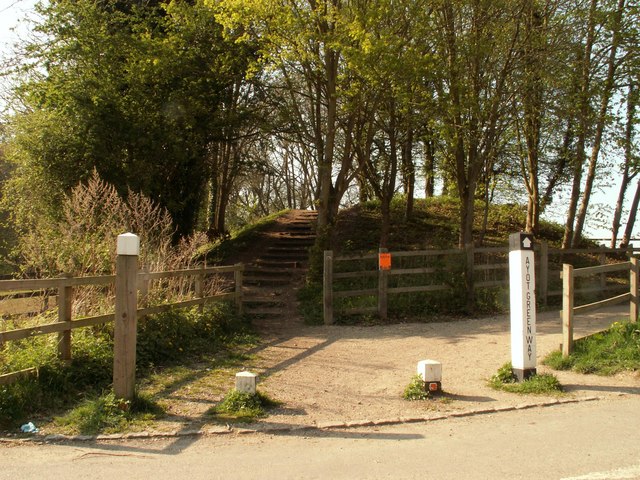
Disused railway, the Ayot Greenway. By 1877, Hertfordshire had eight branch lines; six are now disused and of those, five are now public access routes - Alban Way, Ayot Greenway, Cole Green Way, Ebury Way and the Nickey Line. The Ayot Greenway follows the line that linked Dunstable with Welwyn via Luton, Harpenden, Wheathampstead and Ayot.


