Roslin Glen Country Park
![]()
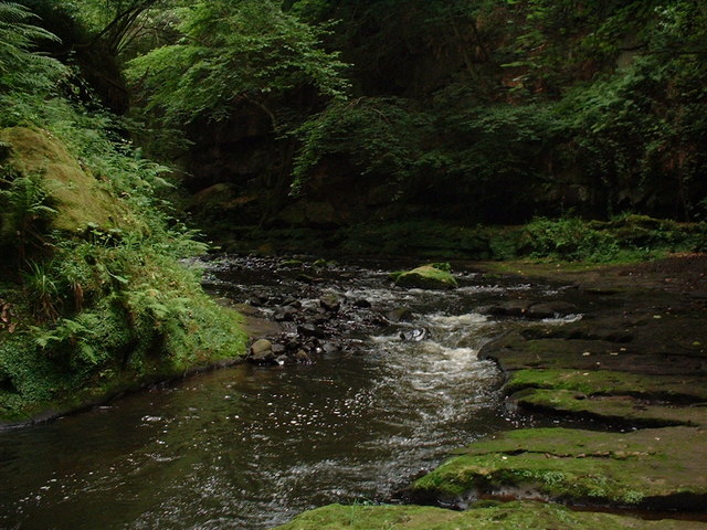
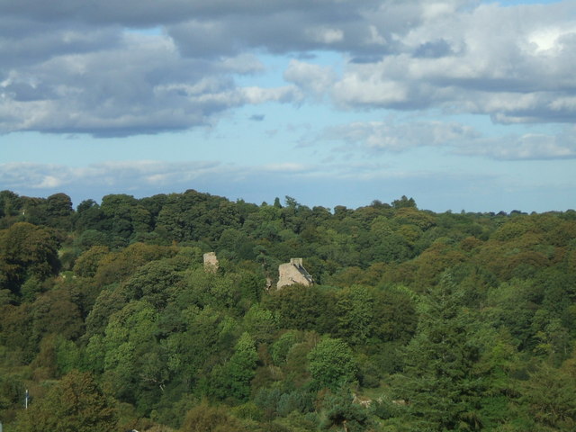
![]() Enjoy a super cycle or walk along the River North Esk in this country park in Midlothian. You will pass along the Penicuik to Musselburgh cycle/walkway which makes use of disused railway lines. It's ideal for a peaceful off road cycle or walk, taking you through wooded glens with views of the rushing River North Esk as you go. You will also pass a number of interesting historical sites including Rosslyn Chapel, Roslin Castle, Wallace's Cave and Hawthornden Castle.
Enjoy a super cycle or walk along the River North Esk in this country park in Midlothian. You will pass along the Penicuik to Musselburgh cycle/walkway which makes use of disused railway lines. It's ideal for a peaceful off road cycle or walk, taking you through wooded glens with views of the rushing River North Esk as you go. You will also pass a number of interesting historical sites including Rosslyn Chapel, Roslin Castle, Wallace's Cave and Hawthornden Castle.
The park is excellent for wildlife with otters, kingfishers and dippers around the river. Look out for buzzards, woodpeckers and badgers in the gorge woodland area. Owls, field voles and butterflies can be seen in the pretty meadows and grasslands.
Roslin Glen is located about 7 miles south of Edinburgh city centre, near Pencuik.
On the nothern side of the park you can visit Rosslyn Chapel. There's some stunning architecture at the 15th century site which includes some pleasant trails through a wooded glen to the ruins of Roslin Castle. The chapel became famous when it was featured in Dan Brown's the Da Vinci Code.
Postcode
EH25 9PY - Please note: Postcode may be approximate for some rural locationsRoslin Glen Country Park Ordnance Survey Map  - view and print off detailed OS map
Roslin Glen Country Park Open Street Map  - view and print off detailed map
Roslin Glen Country Park OS Map  - Mobile GPS OS Map with Location tracking
Roslin Glen Country Park Open Street Map  - Mobile GPS Map with Location tracking
Further Information and Other Local Ideas
You could follow the Penicuik to Musselburgh Cycle Path to the historic coastal town of Musselburgh. There's nice trails here along the beach and the River Esk where it joins with the Firth of Forth.
To the east is the village of Gorebridge where you can pick up the Gorebridge Circular Walk and explore the area around the historic village. Highlights include the Gore Glen Woodland Park with walks along Gore Water and views of the Pentland Hills.
For more walks in the area see the Edinburgh Walks page.
Cycle Routes and Walking Routes Nearby
Photos
Weir on the North Esk river in Roslin Glen. This photograph of a weir on the North Esk is taken from the footbridge just above the site of an old gunpowder mill.
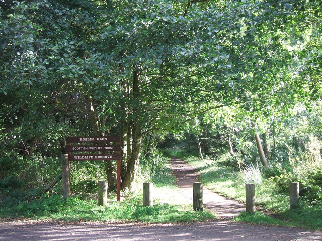
This was originally the gate to the gunpowder factory (1804 - 1954) which occupied the glen as far as the weir. Manufacturing was split between a number of buildings kept separate for safety. The path through the park passes several sites of former buildings.


