Shotover Country Park
![]()
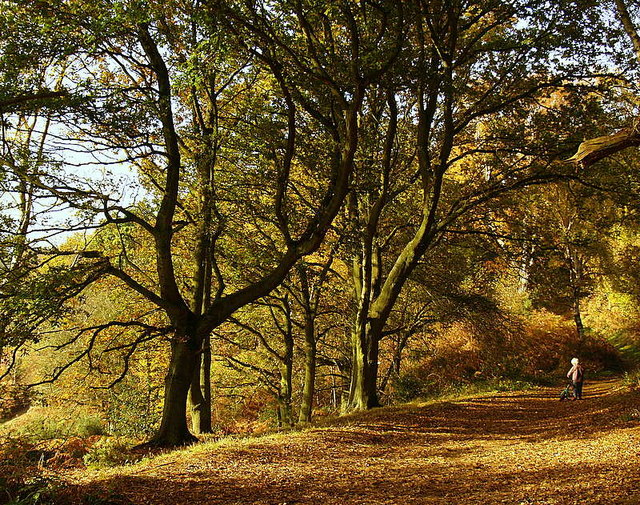
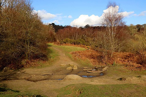
![]() Shotover country park is a 289 acre site located on the outskirts of Oxford. It encompasses ancient woodland, flowery meadows, marshes, ponds, bracken-covered slopes and Shotover Hill where you will find splendid views across South Oxfordshire. The Oxford Green Belt Way runs through the park providing an opportunity to explore the area further.
Shotover country park is a 289 acre site located on the outskirts of Oxford. It encompasses ancient woodland, flowery meadows, marshes, ponds, bracken-covered slopes and Shotover Hill where you will find splendid views across South Oxfordshire. The Oxford Green Belt Way runs through the park providing an opportunity to explore the area further.
There's also wide variety of flora and fauna in the park with Bluebells, Orchids, Woodpeckers, Foxes and Roe deer. There are a number of peaceful woodland walking trails and a bridleway for cyclists.
To extend your walking in the area you could visit the CS Lewis Nature Reserve. It's located just to the north of Shotover Hill and includes a tranquil wood and a large pond with lots of interesting aquatic wildlife.
You can follow this long distance footpath north to Sandhill through Monk's Wood. Following it south will take you to Horspath and Garsington.
You can cycle to the park from Oxford by following National Cycle Network Route 57 to Horspath and then turning north to the park.
Postcode
OX3 8TA - Please note: Postcode may be approximate for some rural locationsPlease click here for more information
Shotover Country Park Ordnance Survey Map  - view and print off detailed OS map
Shotover Country Park Open Street Map  - view and print off detailed map
Shotover Country Park OS Map  - Mobile GPS OS Map with Location tracking
Shotover Country Park Open Street Map  - Mobile GPS Map with Location tracking
Pubs/Cafes
In the car park there's usually an ice cream van selling hot and cold drinks.
Dog Walking
The woodland and parkland trails are ideal for dog walking. It's a popular place so you're likely to meet other owners on your visit.
Further Information and Other Local Ideas
For more walking ideas in the area see the Oxfordshire Walks page.


