Smithills Country Park
![]()
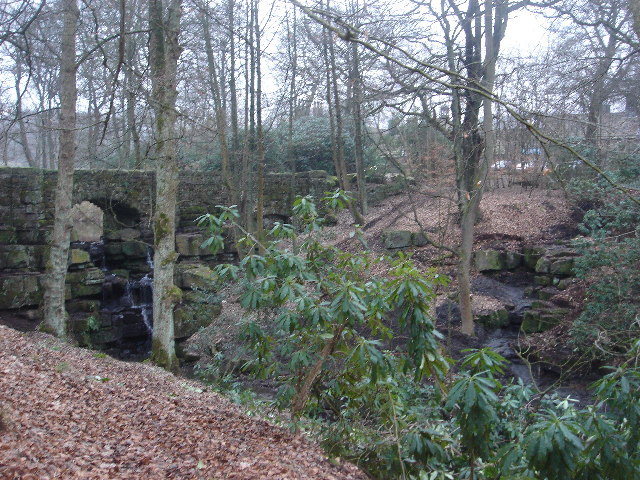
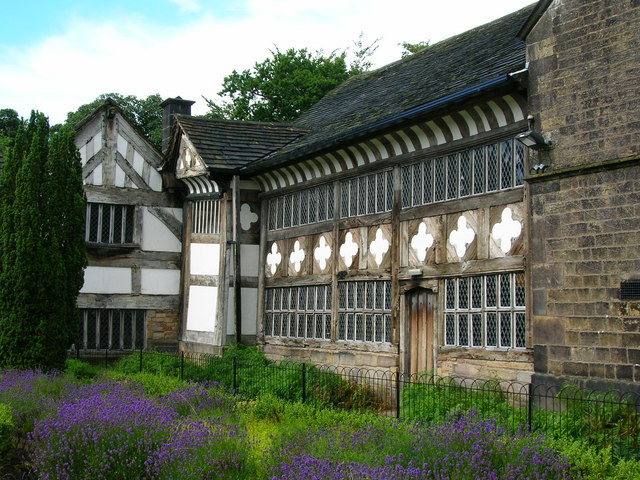
![]() Enjoy 2000 acres of cycling and walking trails in this large country park in Bolton. The parkland surrounds the Grade 1-listed Smithills Hall with a history dating back to the 14th century. Smithills includes lakes, woodland, farmland and moorland with superb views of the West Pennine Moors.
Enjoy 2000 acres of cycling and walking trails in this large country park in Bolton. The parkland surrounds the Grade 1-listed Smithills Hall with a history dating back to the 14th century. Smithills includes lakes, woodland, farmland and moorland with superb views of the West Pennine Moors.
If you head south west of the park you could extend your walking in Moss Bank Park and the Doffcocker Lodge Nature Reserve. There's some nice woodland trails and a pretty lake to explore here. The Bolton Walk explores the lovely Queen's Park in the town centre, near to the train station.
Smithills Country Park Ordnance Survey Map  - view and print off detailed OS map
Smithills Country Park Open Street Map  - view and print off detailed map
Smithills Country Park OS Map  - Mobile GPS OS Map with Location tracking
Smithills Country Park Open Street Map  - Mobile GPS Map with Location tracking
Further Information and Other Local Ideas
To the west of Bolton there's a nice circular trail to be found around High Rid Reservoir. The small lake is a good place for spotting wildfowl.
For more walking ideas in the area see the Greater Manchester Walks page.


