Swiss Valley Cycle Route
10.4 miles (16.7 km)
![]()
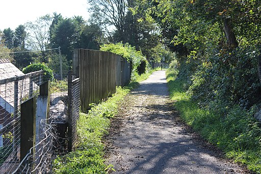
![]() This cycle route runs from the coast at Llanelli through the Swiss Valley to the village of Tumble in Carmarthenshire.
This cycle route runs from the coast at Llanelli through the Swiss Valley to the village of Tumble in Carmarthenshire.
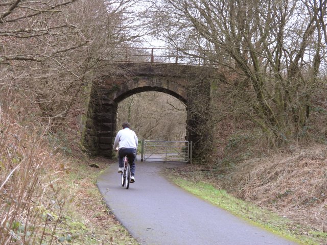
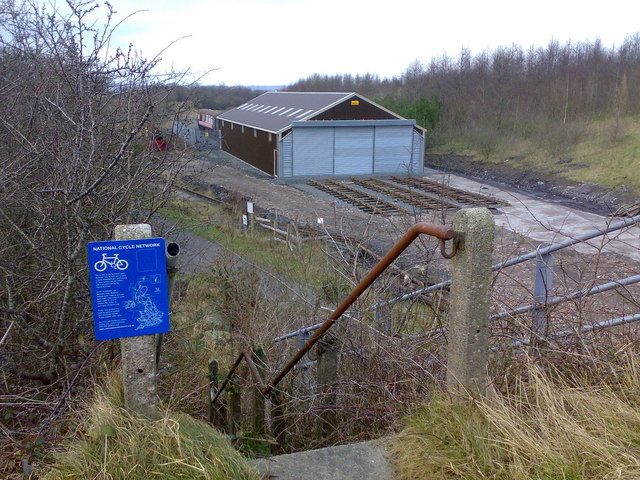
It runs for just over 10 miles with much of the surfaced route a disused railway line.
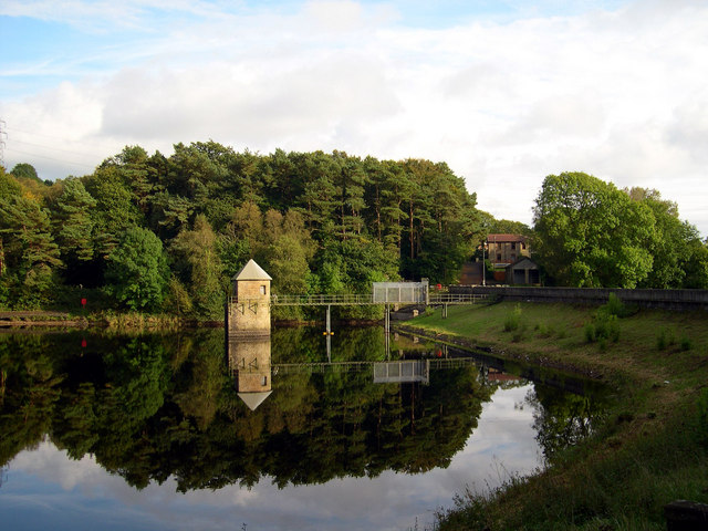
You can start off at the small lake in the Millennium Coastal Park on Llanelli sea front. From here the trail heads north east passing the Swiss Valley Reservoirs, Five Roads, Horeb and Cynheidre before arriving before coming into Tumble.
Swiss Valley Cycle Route Ordnance Survey Map  - view and print off detailed OS map
Swiss Valley Cycle Route Open Street Map  - view and print off detailed map
Swiss Valley Cycle Route OS Map  - Mobile GPS OS Map with Location tracking
Swiss Valley Cycle Route Open Street Map  - Mobile GPS Map with Location tracking
Further Information and Other Local Ideas
A few miles north east of Tumble there's Llyn Llech Owain to visit. The country park has some good woodland mountain bike trails and a pretty lake to see.


