Water Rail Way
![]()
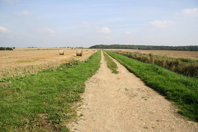
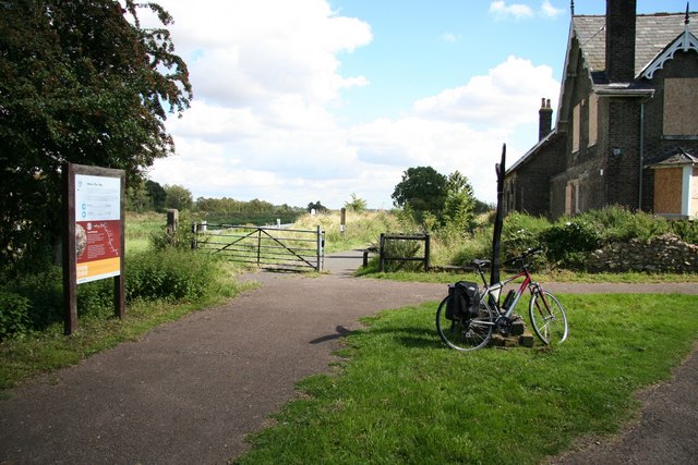
![]() This shared cycling and walking trail runs along the old Lincoln to Boston Railway Line from Lincoln to Woodhall Spa.
This shared cycling and walking trail runs along the old Lincoln to Boston Railway Line from Lincoln to Woodhall Spa.
The route runs for about 16 miles on a flat path making it ideal for a family cycle or an easy walk. On the way there's lovely fenland scenery, river views and a series of themed sculptures to look out for.
Start off in the city centre in Lincoln where you cross to the southern side of the River Witham. You then follow the trail east passing Washingborough, Fiskerton, Rolleston and Branston Island before coming to Bardney. Here you leave the riverside path to follow the trail to Southrey Wood before returning to the river at Southrey village. The trail then continues along the river to take you to Woodhall Spa.
Water Rail Way Ordnance Survey Map  - view and print off detailed OS map
Water Rail Way Open Street Map  - view and print off detailed map
Water Rail Way OS Map  - Mobile GPS OS Map with Location tracking
Water Rail Way Open Street Map  - Mobile GPS Map with Location tracking
Pubs/Cafes
The Cardinal's Hat is a pub full of character in the city centre of Lincoln. The pub was built in the 15th century and reputedly named after Cardinal Wolsey, Bishop of Lincoln 1514-1515. It's a fine old building and well worth a visit for the history. They also have a great range of ales and have a particularly excellent selection of cheeses. You can find the pub at 268 High Street with a postcode of LN2 1HW for your sat navs.
The Victoria is also nearby and another good option. They have a nice garden area to sit out in right under the castle gate house. They can be found at 6 Union Rd, LN1 3BJ.
At the other end of the route there's the Abbey Lodge Inn in Woodhall Spa. The olde worlde style pub has a cosy interior with roaring fires. It's a friendly place with a good menu and selection of ales. You can find it just to the south of the village on Tattershall Road at a postcode of LN10 6UQ.
Further Information and Other Local Ideas
In Woodhall you can try the Viking Way Circular Walk which uses part of the trail and a section of the Viking Way to create a circular walk around the town.
In Lincoln there's the Spires and Steeples walk which runs to Sleaford, visiting several pretty villages with historic churches.
Near Lincoln you could pay a visit to the Elizabethan manor house of Doddington Hall at Skellingthorpe. The hall has some beautiful gardens, retail outlets, a bike shop and a mountain bike trail.
The Spa Trail is a good option for cyclists. The multi user trail follows a dismantled railway line to Horncastle.
For more walking ideas in the area see the Lincolnshire Walks page.


