7 Bridges Walk Ballater
![]()
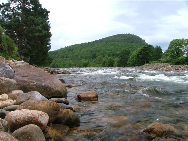
![]() This popular circular walk takes you around the town of Ballater, visiting several bridges on the River Dee and the River Muick. The walk runs for just over 5 miles with some lovely riverside paths, peaceful woodland trails and great views of the surrounding Cairngorms Mountains.
This popular circular walk takes you around the town of Ballater, visiting several bridges on the River Dee and the River Muick. The walk runs for just over 5 miles with some lovely riverside paths, peaceful woodland trails and great views of the surrounding Cairngorms Mountains.
The walk starts in the town centre and follows the waymarked path to Ballater Bridge where you cross the river. You then follow the South Deeside Road to the Bridge of Muick, where you cross the River Muick.
The next section heads north west along The Avenue which runs through Dalhefour Wood. Here you have the option of taking a small detour and visiting Knock Castle, just to the west of the path. The four-storey ruin, dates from approximately 1600 and has an interesting history.
After leaving Dalhefour Wood you cross the river on Polhollick Bridge, a white iron suspension bridge dating from the late 19th century. You then turn east to follow a riverside path to the Bridge of Gairn. Here you cross the River Gairn and turn south east to follow the trail along the Dee and back into the town centre.
To continue your walking around Ballater, head west and visit the Balmoral Estate. Here you can try the interesting Balmoral Cairns Walk which visits the historic castle and a series of cairns dedicated to members of the British royal family and events in their lives.
Ballater is located close to both Loch Muick and Loch Kinord where there's some lovely waterside paths to try.
7 Bridges Ordnance Survey Map  - view and print off detailed OS map
7 Bridges Open Street Map  - view and print off detailed map
7 Bridges OS Map  - Mobile GPS OS Map with Location tracking
7 Bridges Open Street Map  - Mobile GPS Map with Location tracking
Pubs/Cafes
In Ballater there are several nice pubs and cafes where you can go for some post walk refreshments. One noteworthy establishment is the excellent Clachan Grill. This pub is located right next to the River Dee and includes a nice outdoor seating area with great views of the surrounding pine trees. The food is excellent and the pub is also dog friendly in the bar area. You can find it at 5 Bridge St with a postcode of AB35 5QP for your sat navs.
Cycle Routes and Walking Routes Nearby
Photos
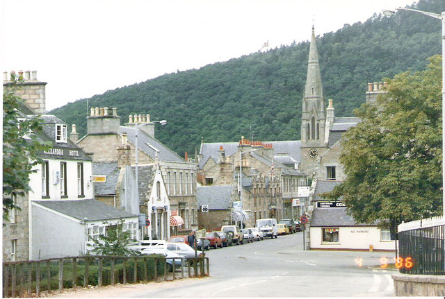
Ballater. The town developed in the late 18th century, first as a spa resort to accommodate visitors to the Pannanich Mineral Well. There are many victorian buildings in the town today. The arrival of the railway in 1866 brought an increase in tourism to the area. The station was closed in 1966 but is now used as a visitor centre with historical exhibitions.


