Allensford Country Park
![]()
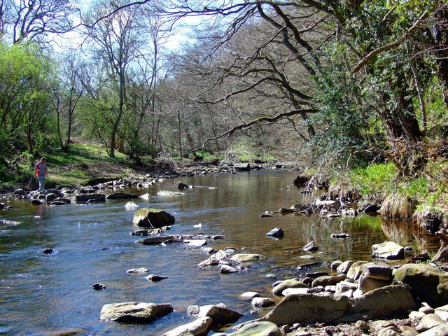
![]() Enjoy riverside woodland walks and magnificent views of the Derwent Valley in this country park near Consett. The River Derwent runs right through the park, with riverside footpaths to follow. The park has picnic tables, a shop and a nature trail in Deneburn Wood.
Enjoy riverside woodland walks and magnificent views of the Derwent Valley in this country park near Consett. The River Derwent runs right through the park, with riverside footpaths to follow. The park has picnic tables, a shop and a nature trail in Deneburn Wood.
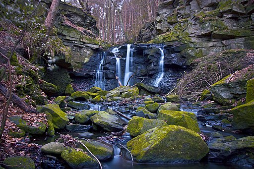
Near the park there's also a picturesque waterfall and old bridge on the Wharnley burn. You can find this just west of the car park.
On the northern side of the river there's also the Allensford blast furnace which is part of the local heritage trail and of some industrial archaeological interest.
Postcode
DH8 9BA - Please note: Postcode may be approximate for some rural locationsAllensford Country Park Ordnance Survey Map  - view and print off detailed OS map
Allensford Country Park Open Street Map  - view and print off detailed map
Allensford Country Park OS Map  - Mobile GPS OS Map with Location tracking
Allensford Country Park Open Street Map  - Mobile GPS Map with Location tracking
Pubs/Cafes
At the eastern end of the park there's the Cafe at Inn on the Park for some post walk refreshment. They serve some lovely homemade food including a delicious Sunday lunch.
Dog Walking
The woodland and riverside trails make for a fine dog walk so you'll probably see other owners on your visit. The on site cafe mentioned above is also dog friendly.
Further Information and Other Local Ideas
Just to the east there's the town of Consett where you can pick up the popular Consett and Sunderland Railway Path. The shared cycling and walking route will take you along a disused railway path from Consett to Sunderland.
To the west there's a major local highlight at Pow Hill Country Park and Derwent Reservoir. There's some nice waterside trails along the expansive reservoir.
For more walking ideas in the area see the County Durham Walks page.
Cycle Routes and Walking Routes Nearby
Photos
Wharnley burn is near Allensford just up stream from a small country park area and hamlet in County Durham, in England. It is situated a short distance to the west of Consett, and to the east of Castleside on the River Derwent.
First recorded as Aleynforth in Bishop Hatfield's survey of c. 1382. The placename is sometimes listed as Allansford, "At Allansford...is a bridge over the Derwent into Northumberland, surrounded by some of the most beautiful scenery on that stream; there are a few cottages on each side of the river".
Wharnley Beck bridge. Bridge over Wharnley Beck with small waterfall in the background. It is uncertain when a bridge replaced the ford, however a bridge was in existence in the late 17th century when the structure was in a "very ruinous and in greate decay” according to the Northumberland Quarter Sessions for 1687-1697. Allensford Mill farmhouse was originally called the Belsay Castle Inn, named after the estate of the Middleton family of Belsay Castle. Part of the inn was built in the late 17th century and may have been a bastle. Later additions continued throughout the 18th and 19th centuries. The inn was licensed until 1869. The upper room in the outbuilding served as a nonconformist chapel.


