Alver Valley Country Park
![]()
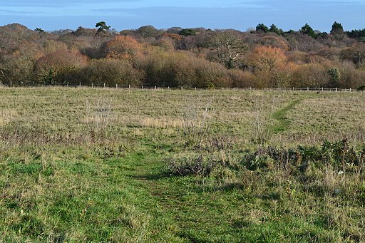
![]() This lovely open space is located near Gosport and has 3 walking and cycling routes that show off the best areas of the 500 acre park. Enjoy woodland, lakes, ponds and views of the River Alver which runs through the park.
This lovely open space is located near Gosport and has 3 walking and cycling routes that show off the best areas of the 500 acre park. Enjoy woodland, lakes, ponds and views of the River Alver which runs through the park.
There is also plenty for wildlife enthusiasts with reptiles, small mammals and a variety of birdlife to look out for. The reedbeds in the West of the River Nature Reserve are of particlar interest.
Cyclists are also able to enjoy the park on surfaced trails.
The Solent Way runs just south of the park. This waymarked footpath could be followed east into Gosport or west towards Lee on Solent and the lovely Titchfield Haven Nature Reserve in Fareham. The reserve is a nice place to extend your walk with a huge variety of wildlife to see.
If you head east along the coastal path it will take you to Gosport where you could visit Fort Gilkicker and enjoy views of PorPortsmouth Harbour.
Postcode
PO13 8BH - Please note: Postcode may be approximate for some rural locationsPlease click here for more information
Alver Valley Country Park Ordnance Survey Map  - view and print off detailed OS map
Alver Valley Country Park Open Street Map  - view and print off detailed map
Alver Valley Country Park OS Map  - Mobile GPS OS Map with Location tracking
Alver Valley Country Park Open Street Map  - Mobile GPS Map with Location tracking
Pubs/Cafes
There is a good on site cafe where you can enjoy a good range of refreshments after your exercise.
Dog Walking
The park is popular with dog walkers so you'll probably meet other owners on your visit.
Further Information and Other Local Ideas
Head north of the park and you could enjoy a climb to the distinctive Nelson Monument on Portsdown Hill. There are some splendid views from the elevated spot and you can also visit the historically fascinating Fort Nelson.
Also nearby is the waterside Warsash Walk which runs along the pretty River Hamble.
The Gosport Walk starts at the ferry terminal on Portsmouth Harbour. It will take you to the park, passing through the town with its lakes, shingle beaches, old coastal forts, naval installations and sea views. The wildlife rich Farlington Marshes can also be visited near here.
Cycle Routes and Walking Routes Nearby
Photos
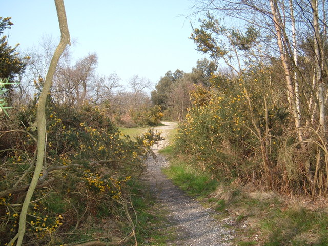
Gorse bushes at Browndown, Gosport. There are many gorse bushes in this area, perhaps the origin of the name "Gosport."
Reedbeds at Browndown. The boardwalk takes us over a swampy area of ground. The land belongs to the Ministry of Defence and is part of the army training camp at Browndown. It is located at the southern end of the park, near to the car park.


