Arnside to Silverdale Walk
![]()
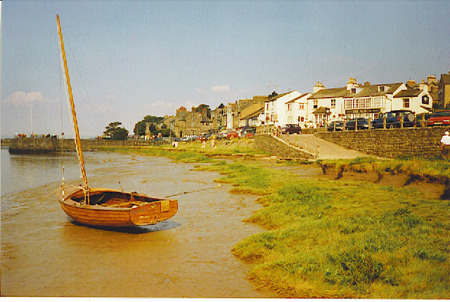
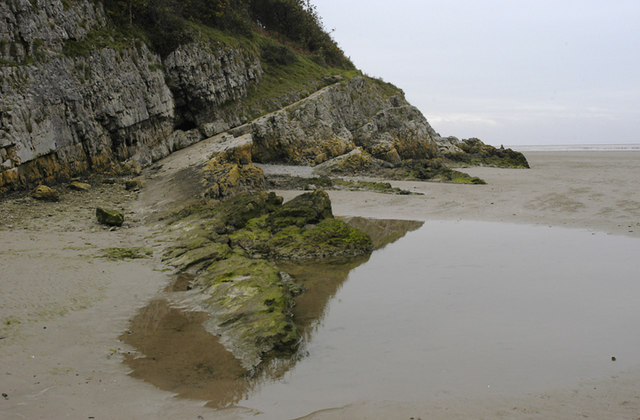
![]() A delightful coastal walk from Cumbria into Lancashire in the Arnside and Silverdale AONB. It's an interesting and attractive stretch of coastline with rocky outcrops, shingle beaches, peaceful coves and wonderful views across Morecambe Bay. The route includes a mixture of footpaths, woodland and beach walking. There's also great views of the Lake District mountains in the distance.
A delightful coastal walk from Cumbria into Lancashire in the Arnside and Silverdale AONB. It's an interesting and attractive stretch of coastline with rocky outcrops, shingle beaches, peaceful coves and wonderful views across Morecambe Bay. The route includes a mixture of footpaths, woodland and beach walking. There's also great views of the Lake District mountains in the distance.
Starting from Arnside the walk follows the coastline around Blackstone Point, Arnside Park and Far Arnside before coming into Silverdale. Silverdale is a nice village with a village school, library, two village halls and two churches. You can enjoy refreshments at one of the pubs or cafes at the end of the walk.
You can turn this route into a longer circular walk by returning to Arnside via the fine viewpoint on Arnside Knott. There's more great views over Grange over Sands, Morecambe Bay and the Lake District fells from the elevated position.
You could also head east across Silverdale Green and visit the lovely Leighton Moss Nature Reserve where there's an abundance of wildlife including breeding bitterns, starlings, bearded tits, marsh harriers and red deer.
Arnside to Silverdale Ordnance Survey Map  - view and print off detailed OS map
Arnside to Silverdale Open Street Map  - view and print off detailed map
Arnside to Silverdale OS Map  - Mobile GPS OS Map with Location tracking
Arnside to Silverdale Open Street Map  - Mobile GPS Map with Location tracking
Pubs/Cafes
In Arnside the The Albion is a good choice with lovely views across the Kent Estuary from the waterfront pub. There's a nice outdoor seating area where you can sit and take in views of Lakeland hills. You may also catch the Arnside Bore if you are there at the right time. The bore occurs at high tides, especially spring tides, where the incoming tide of Morecambe Bay narrows into the river estuary. You can find the pub at 36 The Promenade with a postcode of LA5 0HA for your sat navs.
Further Information and Other Local Ideas
Near Arnside Knott you will find the atmospheric ruins of Arnside Tower. The late-medieval tower house (or Pele tower) was built in the second half of the 15th century. It's a Scheduled Monument and Grade II* listed building and makes for a striking photo.
In Arnside you will also find the delightful Ashmeadow Woodlands. There's some lovely footpaths here with lots of birdlife to enjoy. The woods can be accessed from the end of the Promenade or walk along the first bit of the coast path and access the woodland from the opening near the coastguard station.
A few miles to the north east there's another local geological highlight at Beetham's Fairy Steps. Here you will find an unusual natural limestone staircase which you can climb for more excellent views. The little village of Beetham is also well worth exploring with its 14th century ruined manor house and a particularly lovely garden centre. Near here there's also the market town of Milnthorpe. Here you can enjoy a lovely walk along Milnthorpe Sands to the River Kent Estuary and the wonderful topiary at Levens Hall.


