Ashenbank Wood
![]()
![]() This walk visits Ashenbank wood near Cobham and Gravesend.
This walk visits Ashenbank wood near Cobham and Gravesend.
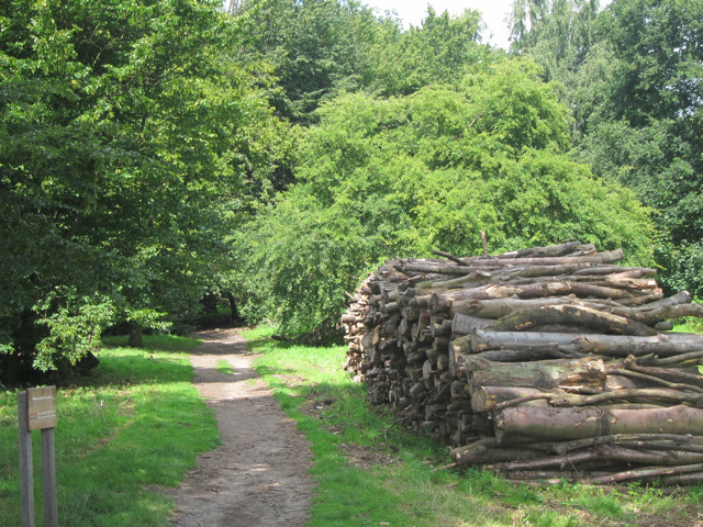
The woods are a pleasant place for a stroll, particularly in springtime when there are lots of pretty bluebells to see. There's a mixture of grassy and surfaced paths to follow with a Bronze Age barrow and RAF WW2 bunker to see on the way. The area is rich in flora and fauna with ancient woodland, wood anemone and dog's mercury some of the features to look out for on the walk.
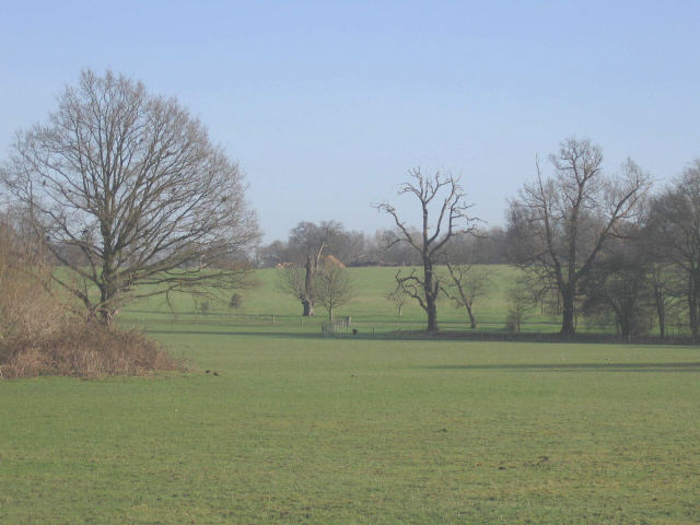
The site is located right next to both Jeskyns Park and Shorne Woods Country Park where you can extend your walk if you have time. It's bordered by Cobham School to the east where you can enjoy some good views across the parkland of the old Cobham Hall Estate. There's also many footpaths branching out into the lovely countryside of the Kent Downs AONB.
Postcode
DA12 3HB - Please note: Postcode may be approximate for some rural locationsPlease click here for more information
Ashenbank Wood Ordnance Survey Map  - view and print off detailed OS map
Ashenbank Wood Open Street Map  - view and print off detailed map
Ashenbank Wood OS Map  - Mobile GPS OS Map with Location tracking
Ashenbank Wood Open Street Map  - Mobile GPS Map with Location tracking
Further Information and Other Local Ideas
Just east of nearby Rochester there's the attractive village of Upnor with its English Heritage owned 16th century castle and quaint old village centre.


