Ashgill Force
![]()
![]() This circular walk visits the Ashgill Force waterfall in the North Pennines.
This circular walk visits the Ashgill Force waterfall in the North Pennines.
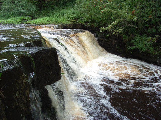
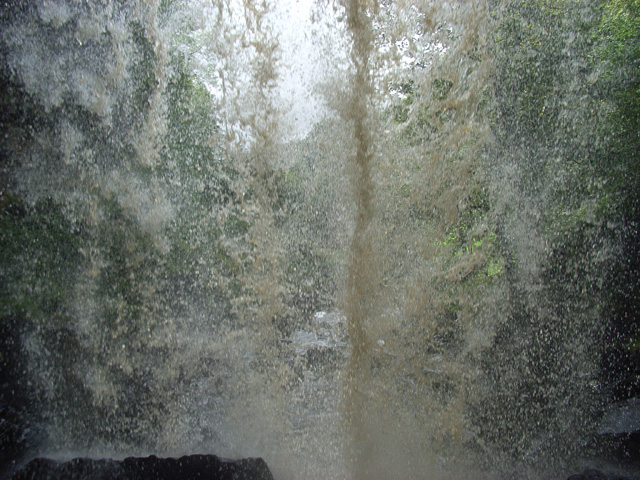
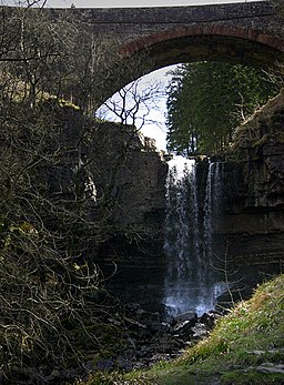
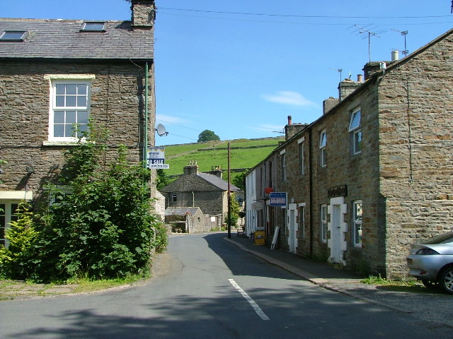
The walk starts from the village of Garrigill just to the north of the falls. From here you can pick up the South Tyne Trail and follow the shared cycling and walking trail south to Low Crossgill and the Ash Gill. You follow the gill east and it will soon take you to the waterfall. The rushing falls are very pretty and you can even venture behind them for a splendid alternative view although take great care if you do. They plunge 55 feet over a rocky shelf and are particularly impressive after wet weather. There's also a series of lovely cascades downstream from the falls themselves.
After enjoying the falls you can follow alternative footpaths north west to Windshaw Bridge, Snapper Gill and Garrigill.
Ashgill Force Ordnance Survey Map  - view and print off detailed OS map
Ashgill Force Open Street Map  - view and print off detailed map
Ashgill Force OS Map  - Mobile GPS OS Map with Location tracking
Ashgill Force Open Street Map  - Mobile GPS Map with Location tracking
Pubs/Cafes
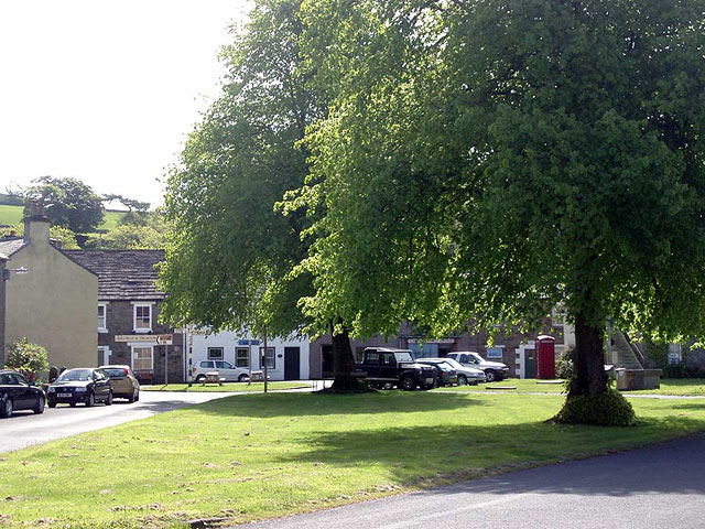
The George & Dragon Inn in Garrigill is a good choice for some post walk refreshments. The cosy village pub does good food and has a charming interior with open fires. You can find it at a postcode of CA9 3DS.
Dog Walking
The river and woodland paths are a nice place to take your dog for a walk. The George & Dragon Inn mentioned above is also dog friendly and may provide biscuits and water bowls for your four legged friend.
Further Information and Other Local Ideas
To continue your walking in the area head north along the South Tyne Trail and visit the town of Alston. Here you can pick up the excellent South Tynedale Steam Railway and enjoy a ride on the heritage steams trains.
There are several other splendid waterfall walks in the AONB including High Force Waterfall, Hardraw Force Walk and Cauldron Snout.
At the nearby Nenthead mining heritage centre you can learn all about the lead and zinc mining history of the North Pennines. There's also mine entrances, dumps, old buildings, reservoirs and some rare plants growing on the metal-rich mine dumps. The village can be reached by following a pleasant country lane north east for just over 2 miles.
Just east of Nenthead there's also Allenheads where you will find more ruined mines, a heritage centre and a decent pub dating back to 1770.
For more walking ideas in the area see the North Pennines Walks and Cumbria Walks pages.
