Baconsthorpe Castle Circular Walk
![]()
![]() This circular walk explores the area around the Norfolk village of Baconsthorpe, visiting the historic Baconsthorpe Castle.
This circular walk explores the area around the Norfolk village of Baconsthorpe, visiting the historic Baconsthorpe Castle.
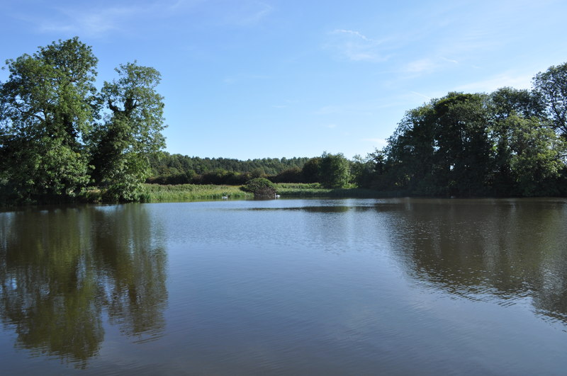
The walk starts at the castle which lies just to the north of the village. You can then follow footpaths around the photogenic castle ruins which includes a pretty lake.
After exploring the site you can then head south through the countryside to visit the village.
Part of the route uses a section of the Holt-Mannington Walk a long distance circular trail running through the area. You could extend your outing by picking up the waymarked trail and following it south to visit Mannington Hall. The hall is another local historic highlight and includes some beautiful gardens. Heading north will take you to the peaceful woodland trails at Holt Country Park.
Baconsthorpe Castle Ordnance Survey Map  - view and print off detailed OS map
Baconsthorpe Castle Open Street Map  - view and print off detailed map
Baconsthorpe Castle OS Map  - Mobile GPS OS Map with Location tracking
Baconsthorpe Castle Open Street Map  - Mobile GPS Map with Location tracking
Cycle Routes and Walking Routes Nearby
Photos
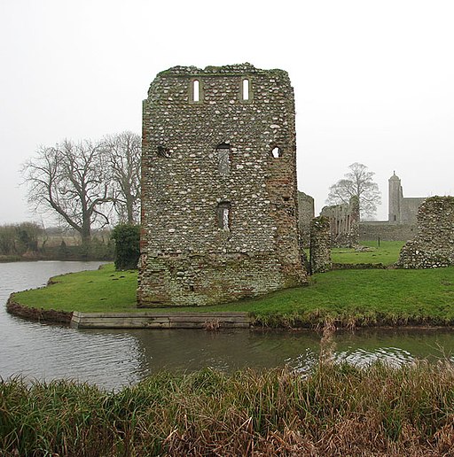
Baconsthorpe Castle - NE tower and lake. View across the moat towards the northeast tower. The outer gatehouse can be seen in the background. The moat widens into a lake on the eastern side. Viewed from the public footpath leading past here
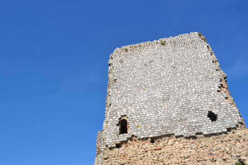
Baconsthorpe Castle, now in ruins, is a moated and fortified 15th-century manor house which was owned by the Heydon family, who eventually abandoned it. Sir John Heydon is believed to have built the inner gatehouse and curtain wall during the Wars of the Roses, and it was Sir Christopher Heydon who converted part of the house into a textile factory. He also added the turreted outer gateway which was inhabited until 1920.


