Ballybunion Cliff Walk
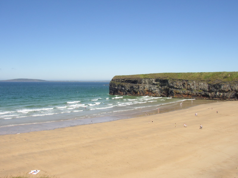
![]() Enjoy wonderful coastal views on this popular Cliff Walk in the town of Ballybunion, County Kerry.
Enjoy wonderful coastal views on this popular Cliff Walk in the town of Ballybunion, County Kerry.
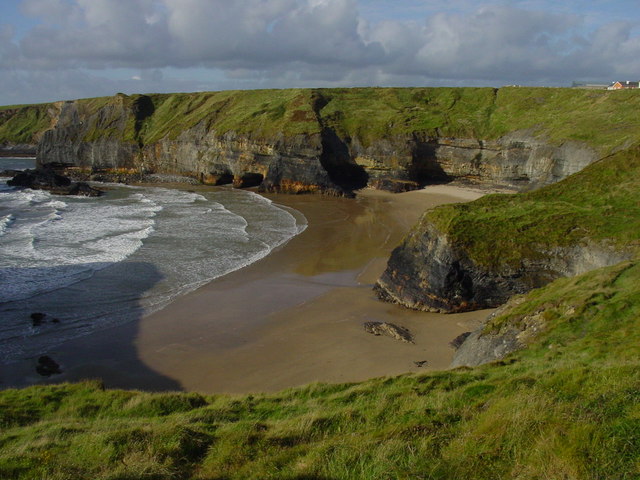
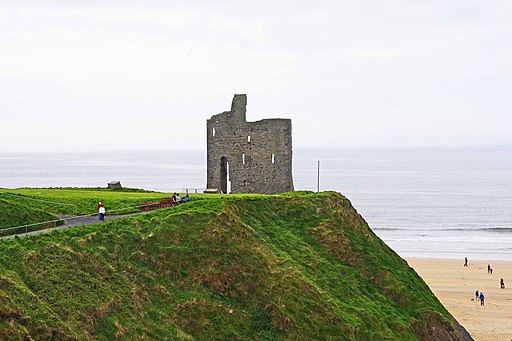
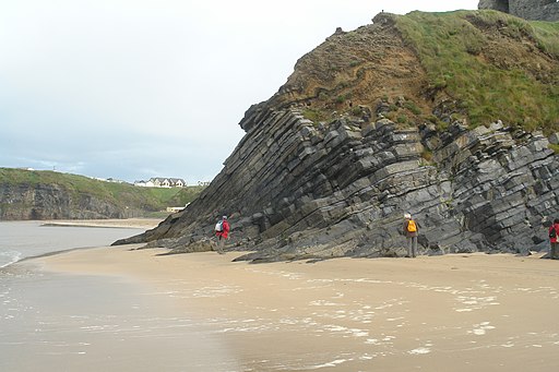
The walk starts from the southern end near Ladies Beach and the Cliff House Hotel. You then follow paths west and north to Nun's Beach at the northern end. Along the way you can enjoy tremendous views over Ballybunion Bay on the atlantic coast. There's some interesting geology on the cliffs with rock formations and murky caves to see. You can also enjoy views of some nice green countryside and farmland.
It's also great for wildlife with sea birds on the cliffs and dolphins in the waters below.
The fairly flat surfaced path runs for about 1.5km so 3km there and back. You can extend your walk by enjoying an easy stroll along the wide, beautiful beach.
Postcode
V31 E275 - Please note: Postcode may be approximate for some rural locationsBallybunion Cliff Walk Open Street Map  - view and print off detailed map
Ireland Walking Map - View All the Routes in the Country>>
Ballybunion Cliff Walk Open Street Map  - Mobile GPS Map with Location tracking
Pubs/Cafes
The Cliff House Hotel is located near the start of the walk. Here you could enjoy a meal and a drink in Bernie's Bar. The bar is named after the founder of the Cliff House Hotel and legendary Gaelic football manager Bernard O'Callaghan. The bar is filled with sporting memorabilia and has a friendly atmosphere.
Further Information and Other Local Ideas
Head south to Tralee and you could pick up the Dingle Way, an epic circular walk classified as one of Ireland's National Waymarked Trails. The popular route explores the cliffs of the stunning Dingle Peninsula, visiting the most western point of Ireland on the way.
In the town you can also pick up the Tralee Canal Walk and enjoy an easy waterside walk along the old Ship Canal to the lovely bay.
Just east of Tralee you can pick up the waymarked Glanageenty Loop and explore the delightful Glanageenty Forest. Here you can enjoy pretty streams, peaceful woodland trails, a waterfall and lots of birdlife to see.
To the north there's Loop Head in County Clare. The circular walk explores the wonderful coastal headland at the mouth of the River Shannon.
Cycle Routes and Walking Routes Nearby
Photos
Bay north of Ballybunion Access is difficult to this beach which lies just to the north of Ballybunion.
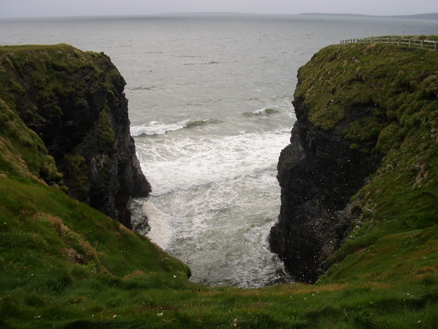
Nine daughters hole. This is a natural formation of a blowhole in the cliff around Ballybunion, Kerry, Ireland. According to local legend, the 9 daughters of a local chieftan fell in love with 9 invading Vikings, and planned to elope and get married. The chieftan threw his daughters and the vikings into the blowhole and they drowned.
