Ballyvaughan Wood Loop Walk
![]() This circular walk explores Ballyvaughan Wood in the little harbour village of Ballyvaughan, County Clare.
This circular walk explores Ballyvaughan Wood in the little harbour village of Ballyvaughan, County Clare.
The popular walk runs for about 8km and is waymarked with Purple Arrows. On the way you'll enjoy peaceful woodland trails, limestone scenery, coastal views and the glorious countryside of the Burren.
At the south eastern section of the walk you'll pass close to the†Aillwee Cave and Birds of Prey Centre attraction. Here you can explore a wonderful cave system wtih an†underground river†and a waterfall as well as some large stalactites and stalagmites.
To continue your walking in the area head north east to visit Flaggy Shore. There's some wonderful geological features and fine views to Aughinish Island, Galway Bay, the surrounding mountains and the wider Atlantic†Ocean.
Ballyvaughan Wood Loop Walk Open Street Map  - view and print off detailed map
Ireland Walking Map - View All the Routes in the Country>>
Ballyvaughan Wood Loop Walk Open Street Map  - Mobile GPS Map with Location tracking
Further Information and Other Local Ideas
Head south west along the coast and you can pick up the popular Doolin to Cliffs of Moher Walk. The wonderful cliff top hike runs from the little village of Doolin to the Moher Tower at the southern end. There's fabulous sea views and lots of seabirds to look out for on this major local walking highlight.
The long distance Burren Way runs through the village. The trail runs from Lahinch to Corofin and could be followed to the Cliffs of Moher from Ballyvaughan.
Head south east into the heart of the Burren National Park and you could try the Lough Avalla Farm Loop. Another well trodden path it winds through the historic site of an ancient Celtic farm and briefly follows the picturesque shoreline of Lough Avalla. Near here there's also Lough Bunny, a Special Area of Conservation with stunning views of Mullaghmore Mountain.
To the east there's more waterside walking on the Gort†River Walk. The pleasant circular loop walk runs for about 3km along easy footpaths and country lanes around the historic town.
Cycle Routes and Walking Routes Nearby
Photos
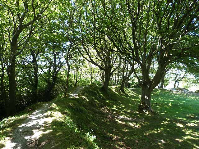
Grassy field rimmed with broadleaf tree verges. A burren limestone mountain block is on the horizon to the west.
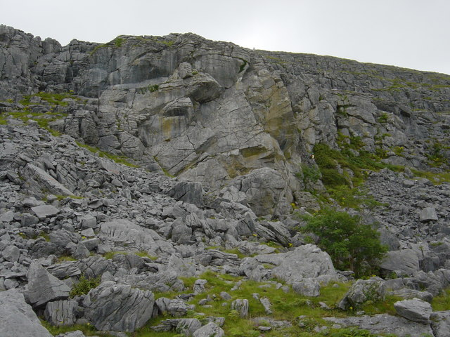
Aill na CrůnŠin, Skull Buttress. A nice limestone climbing crag near Ballyvaughan in Clare with +50 routes of 10-25m mostly in grades V.Diff. to Hard Severe, but with one E1 in the guide. Reached by a 400m level walk from the Upper Ailwee Cave carpark and a quick descent to the foot of the crag. Not only is the climbing rather fine, but the situation and view too


