Battersea Park
![]()
![]() Enjoy a walk or cycle through this riverside park in London. There's a cycle trail running through the northern end of the park and footpaths taking you around a boating lake, through Sub-Tropical Gardens and along the River Thames. There's 200 acres (83-hectare) to explore with a children's zoo, a boating lake, a bandstand and cafe. There's also a 3 hectare nature area with mixed woodland where you can look out for butterflies and birds such as blackcap and bullfinch. Good footpaths take you around the lovely Sub-Tropical Gardens with a mixture of exotic plants and then to the Old English Garden with a fountain and pretty hedges and flowers.
Enjoy a walk or cycle through this riverside park in London. There's a cycle trail running through the northern end of the park and footpaths taking you around a boating lake, through Sub-Tropical Gardens and along the River Thames. There's 200 acres (83-hectare) to explore with a children's zoo, a boating lake, a bandstand and cafe. There's also a 3 hectare nature area with mixed woodland where you can look out for butterflies and birds such as blackcap and bullfinch. Good footpaths take you around the lovely Sub-Tropical Gardens with a mixture of exotic plants and then to the Old English Garden with a fountain and pretty hedges and flowers.
The whole of this circular route is designed for walkers but there is a traffic free cycle track running through the northern end of the park. You can then cross Chelsea Bridge and continue along the Thames to Battersea Bridge.
The Thames Path runs through the park so you can extend your walk by continuing along the thames.
You could head to the South Bank where there are some of the cultural highlights of the city.
Battersea Park Ordnance Survey Map  - view and print off detailed OS map
Battersea Park Open Street Map  - view and print off detailed map
Battersea Park OS Map  - Mobile GPS OS Map with Location tracking
Battersea Park Open Street Map  - Mobile GPS Map with Location tracking
Pubs/Cafes
Head to the Pear Tree Cafe in the park for some refreshments. The cafe was opened by Annabel Partridge and Will Burrett in Autumn 2016. Pear Tree Cafe evokes charm, with beautiful views across the boating lake and a seasonally changing menu in a relaxed setting. You can find the cafe on the eastern side of the park's lake.
Cycle Routes and Walking Routes Nearby
Photos
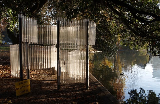
The boating lake at Battersea Park. Battersea Park is a 83 hectare green space at Battersea. It is situated on the south bank of the River Thames opposite Chelsea, and was opened in 1858. The park contains a wide range of facilities including an athletics track, all weather sports pitches, lake, children's zoo, tennis courts, bandstand and pagoda.
War memorial in Battersea Park, London. Sculpture by Eric Kennington (1888-1960) to commemorate the 24th London Division. It appears to have been cleaned fairly recently.


