Bestwood Country Park
![]()
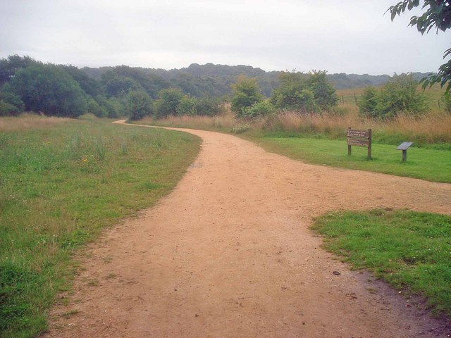
![]() Bestwood Country Park is located on the outskirts of the city of Nottingham and consists of 650 acres of open green space. The park includes Mill Lakes, where you can follow the waterside trail and look out for the wide variety of water birds that visit the park. There are also wildflower meadows and peaceful forest trails through ancient oak woodland to enjoy.
Bestwood Country Park is located on the outskirts of the city of Nottingham and consists of 650 acres of open green space. The park includes Mill Lakes, where you can follow the waterside trail and look out for the wide variety of water birds that visit the park. There are also wildflower meadows and peaceful forest trails through ancient oak woodland to enjoy.
National Cycle Route 6 runs along Mill lakes and the Robin Hood Way walking trail also runs right through the park. You could follow the trail to the nearby Burntstump Country Park for more pleasant woodland walking trails.
Following the trail west would take you to the lovely Collier's Wood Nature Reserve and Moorgreen Reservoir.
The reserve is worth visiting with a large pond and good surfaced paths. The Broxtowe Country Way can then be picked up to take you to the nearby reservoir.
Just over a mile to the north of the reservoir there's also the noteworthy Felley Priory. The historic 15th century house is surrounded by some beautiful gardens with herbaceous borders, splendid topiary and bluebell woodland.
Postcode
NG6 8TQ - Please note: Postcode may be approximate for some rural locationsPlease click here for more information
Bestwood Country Park Ordnance Survey Map  - view and print off detailed OS map
Bestwood Country Park Open Street Map  - view and print off detailed map
Bestwood Country Park OS Map  - Mobile GPS OS Map with Location tracking
Bestwood Country Park Open Street Map  - Mobile GPS Map with Location tracking
Pubs/Cafes
There is an on site cafe near to the park where you can pick up some refreshments after your exercise.
Dog Walking
The parkland and woodland trails are an excellent place for dog walkers so expect to see plenty of other owners on your visit. The cafe mentioned above is also dog friendly.
Further Information and Other Local Ideas
The circular Hucknall Walk starts from the train station in the nearby market town. It visits the park before heading through the countryside along the Robin Hood Way and then visiting Moorgreen reservoir. It's a nice way to visit the park by public transport and see some more of the surrounding area.
A few miles east of the park there's the delightful Lambley Dumbles to visit. There's much to enjoy here with steep sided valleys, streams, orchards, waterfalls, ancient woodland and lots of interesting geology and flora to see. Lambley village is also worth a visit with two fine pubs to relax in after your exercise. Just next to here is the neighbouring settlement of Lowdham where there's a 13th century church and some fine walks through the valley of the Cocker Beck.
The circular Papplewick Walk starts from the nearby village and visits the historic Newstead Abbey.
For more walking ideas in the area see the Nottinghamshire Walks page.
Cycle Routes and Walking Routes Nearby
Photos
Car park, Bestwood Country Park. This car park, off Bestwood Lodge Drive, gives access to the east side of the country park and the formal gardens at Bestwood Lodge. Birch trees provide shade.
Edge of the park. The car park on Betwood Lodge Drive is through the trees on the other side of the road.
Looking south-east from near the old colliery. This park covers a square-mile and is criss-crossed with walking and riding paths. Managed by Nottingham Council, who have done a good job of landscaping the old colliery workings and tips.
Looking west from the hilltop to a small pond, part of the landscaping of the park to encourage wildlife. Above the pond in the distance is the large Rolls Royce plant at Hucknall.


